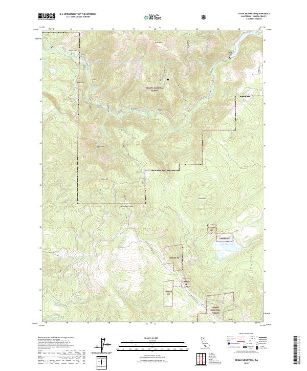
2022 Map of Chalk Mountain
USGS Topo · Published 2022About this map
The Pit River carves through this northern California landscape, marking a deeply dissected terrain within the Shasta National Forest and Lassen National Forest. Water is a defining element of the geography, from the high elevation Lake Margaret to the intricate network of tributaries like Roaring Cr, Hull Cr, and Canyon Cr. The map reveals a complex system of ridges and peaks, including the prominent Chalk Mtn in the north and Bunchgrass Mtn near the center, alongside smaller landforms such as Bee Knoll and Bales Mtn. Scattered water sources like Bedrock Spring and Bear Spring provide critical points of interest in this forested expanse. Human presence is evidenced by forest routes like Baker Rd and Bunchgrass Lookout Rd, which navigate the steep topography around features like Deep Creek Slide and the expansive Hagen Flat.
Find a feature on this map
40 named features on this map. Tap any name to fly to it.
Don’t see what you’re looking for? This feature index may not catch every label — zoom into the map to look around manually.
Map Details
Editions of this 2022 Chalk Mountain Map
This is the sole edition of this map. No revisions or reprints were ever made.
Other maps of this area

1886 · Lassen Peak
USGS Topo · 1:250,000

1886 · Modoc Lava Bed
USGS Topo · 1:250,000

1892 · Modoc Lava-Bed
USGS Topo · 1:250,000

1892 · Lassen Peak
USGS Topo · 1:250,000

1894 · Lassen Peak
USGS Topo · 1:250,000

1932 · Bartle
USGS Topo · 1:96,000

1935 · Burney
USGS Topo · 1:96,000

1939 · Burney
USGS Topo · 1:125,000

1939 · Bartle
USGS Topo · 1:125,000

1954 · Alturas
USGS Topo · 1:250,000