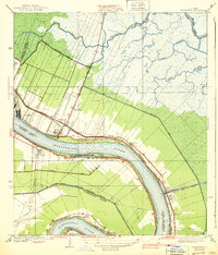
1939 Map of Chalmette
USGS Topo · Published 1939About this map
The Mississippi River defines the landscape of this 1930s survey, sweeping through the delta past riverfront settlements and industrial infrastructure. The area around Chalmette is densely detailed, featuring the Chalmette Nat Mon and Chalmette Nat Cem, which mark the historical significance of this bend in the river. Narrow land lots extend back from the riverbanks towards the Back Protection Levee, a classic long-lot land pattern typical of French colonial influence in Louisiana.
Find a feature on this map
32 named features on this map. Tap any name to fly to it.
Don’t see what you’re looking for? This feature index may not catch every label — zoom into the map to look around manually.
Map Details
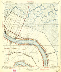
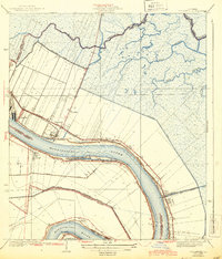
Editions of this 1939 Chalmette Map
3 editions found
Other maps of this area

1891 · Spanish Fort
USGS Topo · 1:62,500

1891 · New Orleans
USGS Topo · 1:62,500

1892 · Chef Menteur
USGS Topo · 1:62,500

1892 · St. Bernard
USGS Topo · 1:62,500

1932 · New Orleans NE
USGS Topo · 1:31,680

1932 · New Orleans SE
USGS Topo · 1:31,680

1935 · Delacroix
USGS Topo · 1:31,680

1936 · Chef Menteur
USGS Topo · 1:62,500

1936 · Spanish Fort
USGS Topo · 1:62,500

1937 · Chef Menteur
USGS Topo · 1:31,680