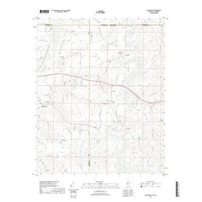
2018 Map of Chalybeate
USGS Topo · Published 2018About this map
Chalybeate lies at the heart of this survey, surrounded by a high density of rural cemeteries that reflect generations of local settlement along the Mississippi-Tennessee border. Family and community heritage is deeply rooted here, with sites like Providence Cem, Ebenezer Cem, and the State Line Cem marking the landscape. The terrain is defined by the winding course of the Hatchie River and its numerous tributaries, including Jones Cr and Dodd Cr, which cut through the southern reaches of the Hatchie Hills. The survey captures a network of county roads, such as Pocahontas Rd and Essary Springs Rd, that connect isolated farmsteads and small churches like Bethel. This area remains largely defined by its topography and the ancestral plots that dot the ridges and creek valleys, offering a detailed look at the rural character of the Tippah and Alcorn county lines.
Find a feature on this map
119 named features on this map. Tap any name to fly to it.
Don’t see what you’re looking for? This feature index may not catch every label — zoom into the map to look around manually.
Map Details
Editions of this 2018 Chalybeate Map
This is the sole edition of this map. No revisions or reprints were ever made.
Other maps of this area

1950 · Corinth
USGS Topo · 1:62,500

1950 · Pocahontas
USGS Topo · 1:24,000

1950 · Middleton
USGS Topo · 1:24,000

1951 · Middleton
USGS Topo · 1:24,000

1951 · Chewalla
USGS Topo · 1:24,000

1951 · Walnut
USGS Topo · 1:62,500

1952 · Pocahontas
USGS Topo · 1:24,000

1956 · Blytheville
USGS Topo · 1:250,000

1956 · Tupelo
USGS Topo · 1:250,000

1958 · Tupelo
USGS Topo · 1:250,000