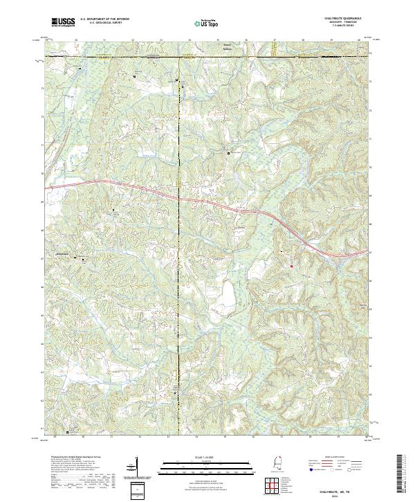
2024 Map of Chalybeate
USGS Topo · Published 2024About this map
Chalybeate and Essary Springs anchor this borderland survey where northern Mississippi meets Tennessee. The landscape is defined by the winding course of the Hatchie River and its numerous tributaries, including Beanman Creek, Mathis Creek, and Fourth Creek, which carve through the Hatchie Hills. This area is particularly rich for genealogical research, documenting numerous family and community burial sites such as Chalybeate Cem, Union Cem, and the State Line Cem positioned directly on the boundary between Hardeman and Tippah counties.
Find a feature on this map
122 named features on this map. Tap any name to fly to it.
Don’t see what you’re looking for? This feature index may not catch every label — zoom into the map to look around manually.
Map Details
Editions of this 2024 Chalybeate Map
This is the sole edition of this map. No revisions or reprints were ever made.
Other maps of this area

1950 · Corinth
USGS Topo · 1:62,500

1950 · Pocahontas
USGS Topo · 1:24,000

1950 · Middleton
USGS Topo · 1:24,000

1951 · Middleton
USGS Topo · 1:24,000

1951 · Chewalla
USGS Topo · 1:24,000

1951 · Walnut
USGS Topo · 1:62,500

1952 · Pocahontas
USGS Topo · 1:24,000

1956 · Blytheville
USGS Topo · 1:250,000

1956 · Tupelo
USGS Topo · 1:250,000

1958 · Tupelo
USGS Topo · 1:250,000