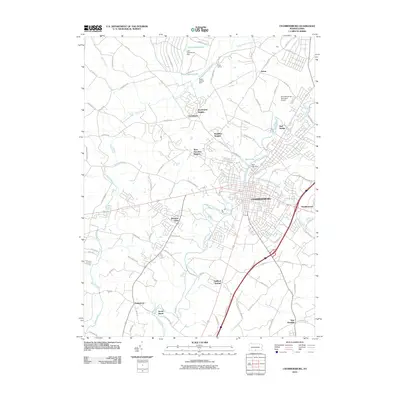
2010 Map of Chambersburg
USGS Topo · Published 2010About this map
Chambersburg serves as the central hub of this Franklin County landscape, where the waters of Conococheague Creek and Falling Spring Branch converge. The settlement pattern reflects significant residential expansion into outlying neighborhoods like Hamilton Heights and Stoufferstown, while smaller, distinct locales such as Cheesetown and Guilford Springs maintain their identities along the arterial road network.
Find a feature on this map
82 named features on this map. Tap any name to fly to it.
Don’t see what you’re looking for? This feature index may not catch every label — zoom into the map to look around manually.
Map Details
Editions of this 2010 Chambersburg Map
This is the sole edition of this map. No revisions or reprints were ever made.
Other maps of this area

1900 · Mercersburg
USGS Topo · 1:62,500

1902 · Chambersburg
USGS Topo · 1:62,500

1902 · Mercersburg
USGS Topo · 1:62,500

1923 · Shippensburg
USGS Topo · 1:62,500

1939 · Orbisonia
USGS Topo · 1:62,500

1940 · Orbisonia
USGS Topo · 1:62,500

1942 · Hagerstown
USGS Topo · 1:125,000

1943 · Hagerstown
USGS Topo · 1:125,000

1943 · Chambersburg
USGS Topo · 1:62,500

1943 · Mercersburg
USGS Topo · 1:62,500
Featured Places
- Chambersburg, PA
- Guilford Township, PA
- Letterkenny Township, PA
- Hamilton Township, PA
- Social Island, Guilford Township