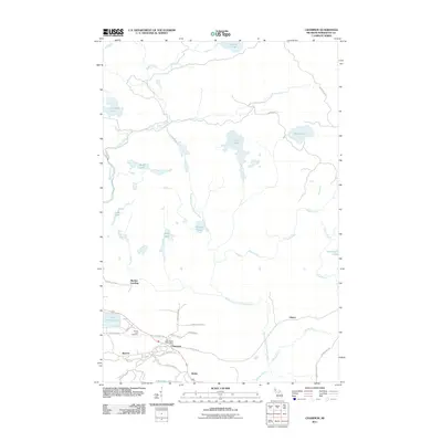
2011 Map of Champion
USGS Topo · Published 2011About this map
Champion and the neighboring settlement of Beacon serve as the primary hubs in this section of Marquette County. The landscape is defined by its complex hydrology, where the Peshekee River and Middle Branch Escanaba River navigate a terrain dense with water bodies like Lake Michigamme and Dishno Lake. Significant local history is preserved at the Sacred Heart Cemetery and the Champion Post Office, while smaller settlements such as Clowry, Wobic, and Martins Landing mark the map's sparse road network. The presence of Mine St in Beacon hints at the region's industrial past, as these small communities grew around the rich mineral deposits of the Upper Peninsula. Numerous creeks like Kipple Creek and Dishno Creek weave through the township, feeding into larger rivers and lakes that have long shaped the local economy and settlement patterns.
Find a feature on this map
45 named features on this map. Tap any name to fly to it.
Don’t see what you’re looking for? This feature index may not catch every label — zoom into the map to look around manually.
Map Details
Editions of this 2011 Champion Map
This is the sole edition of this map. No revisions or reprints were ever made.
Other maps of this area

1899 · Witbeck
USGS Topo · 1:62,500

1955 · Champion
USGS Topo · 1:24,000

1955 · Diorite
USGS Topo · 1:24,000

1955 · Witch Lake NE
USGS Topo · 1:24,000

1955 · Greenwood
USGS Topo · 1:24,000

1955 · Republic
USGS Topo · 1:62,500

1955 · Republic
USGS Topo · 1:24,000

1955 · Witch Lake
USGS Topo · 1:62,500

1955 · Champion
USGS Topo · 1:62,500

1956 · Michigamme
USGS Topo · 1:62,500