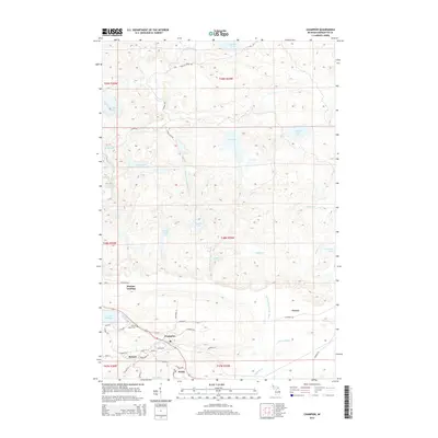
2014 Map of Champion
USGS Topo · Published 2014About this map
The settlement of Champion and the nearby village of Beacon sit at the southern edge of a landscape defined by complex hydrological systems and iron-mining history. This area of Marquette County is characterized by the headwaters and tributaries of major waterways, most notably the Middle Br Escanaba River, which meanders south through the center of the sheet, and the expansive eastern reach of Lake Michigamme. Local history is anchored by the Sacred Heart Cem and small rail-aligned points like Clowry and Wobic. To the north, the terrain becomes increasingly dense with water bodies such as Log Lake, Bush Lake, and Dishno Lake. The map reveals the intricate road network supporting this northern Michigan community, from named streets like Swedetown St and Alder St to the rural tracks of Wildcat Creek Rd and Dishno Rd.
Find a feature on this map
54 named features on this map. Tap any name to fly to it.
Don’t see what you’re looking for? This feature index may not catch every label — zoom into the map to look around manually.
Map Details
Editions of this 2014 Champion Map
This is the sole edition of this map. No revisions or reprints were ever made.
Other maps of this area

1899 · Witbeck
USGS Topo · 1:62,500

1955 · Champion
USGS Topo · 1:24,000

1955 · Diorite
USGS Topo · 1:24,000

1955 · Witch Lake NE
USGS Topo · 1:24,000

1955 · Greenwood
USGS Topo · 1:24,000

1955 · Republic
USGS Topo · 1:62,500

1955 · Republic
USGS Topo · 1:24,000

1955 · Witch Lake
USGS Topo · 1:62,500

1955 · Champion
USGS Topo · 1:62,500

1956 · Michigamme
USGS Topo · 1:62,500