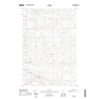
2019 Map of Champion
USGS Topo · Published 2019About this map
Champion and the neighboring settlement of Beacon serve as the primary hubs in this Marquette County landscape, where the iron mining legacy of the Upper Peninsula is written into the street grid. The residential blocks of Champion are structured by streets such as Dalliba St and Graphite St, leading toward the Champion Cem and Sacred Heart Cem. This area is a critical hydrological divide, where the Peshekee River flows toward the expansive Lake Michigamme to the west, while the Middle Br Escanaba River drains the central marshlands. To the north, the terrain becomes a dense network of water bodies, including Dishno Lake, Wolf Lake, and Bush Lake, connected by forest roads like Dishno Rd. Small landings and rail-adjacent points such as Martins Landing and Clowry mark the transition from town life to the wooded wilderness of the northern townships.
Find a feature on this map
57 named features on this map. Tap any name to fly to it.
Don’t see what you’re looking for? This feature index may not catch every label — zoom into the map to look around manually.
Map Details
Editions of this 2019 Champion Map
This is the sole edition of this map. No revisions or reprints were ever made.
Other maps of this area

1899 · Witbeck
USGS Topo · 1:62,500

1955 · Champion
USGS Topo · 1:24,000

1955 · Diorite
USGS Topo · 1:24,000

1955 · Witch Lake NE
USGS Topo · 1:24,000

1955 · Greenwood
USGS Topo · 1:24,000

1955 · Republic
USGS Topo · 1:62,500

1955 · Republic
USGS Topo · 1:24,000

1955 · Witch Lake
USGS Topo · 1:62,500

1955 · Champion
USGS Topo · 1:62,500

1956 · Michigamme
USGS Topo · 1:62,500