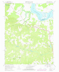
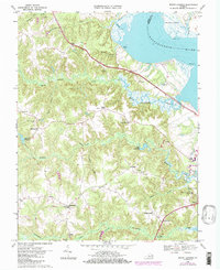
1943 Map of Champlain
USGS Topo · Published 1943About this map
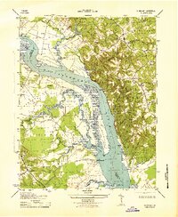
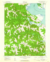
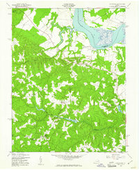
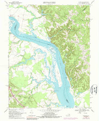
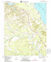
The Rappahannock River dominates this wartime survey, acting as a broad corridor between Essex and Westmoreland counties. At this time, the landscape was defined by its river-based economy and large rural estates. To the west, the community of Champlain sits near St Mathews Ch, while prominent properties like Malvale Farm, Lindsay Hall Farm, and Farmers Hall occupy the fertile Occupacia neck. This mid-century map documents the numerous small landings and wharves that served the river trade, including Smith Mount Landing, Carters Whf, and Jones LDG. The marshy lowlands of Beverly Marsh and Paynes Island illustrate the intricate tidal terrain of the Northern Neck region. Local roads like Snyder Road and Oak Row RD connect small settlements like Singerly and Foneswood to the waterfront and parish churches such as Ephesus Ch and Rappahannock Ch.
Find a feature on this map
62 named features on this map. Tap any name to fly to it.
Don’t see what you’re looking for? This feature index may not catch every label — zoom into the map to look around manually.
Map Details
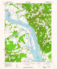
Editions of this 1943 Champlain Map
2 editions found
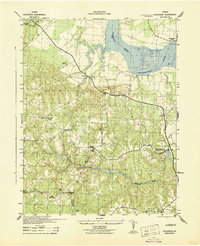
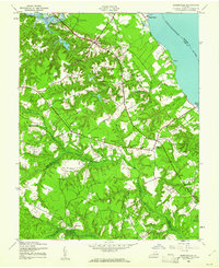
Historical Maps of Horners Through Time
13 maps found
1942 Occupacia
Essex County, VA
1943 Champlain
Essex County, VA
1944 Dunnsville
Essex County, VA
1944 Mount Landing
Essex County, VA
1949 Occupacia
Essex County, VA
1968 Champlain
Essex County, VA
1968 Dunnsville
Essex County, VA
1968 Loretto
Essex County, VA
1968 Mount Landing
Essex County, VA
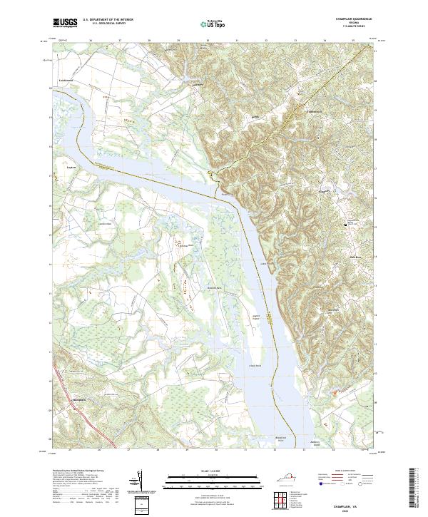
2022 Champlain
Essex County, VA
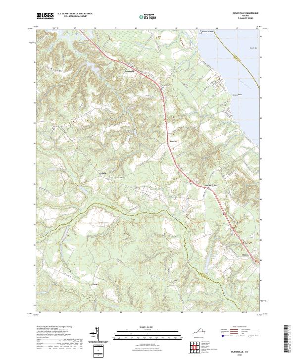
2022 Dunnsville
Essex County, VA
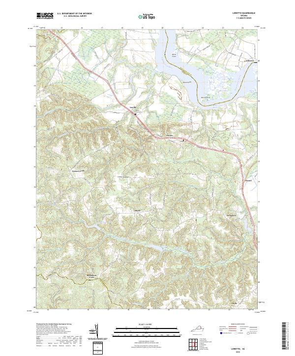
2022 Loretto
Essex County, VA
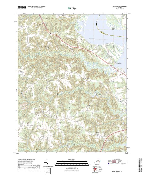
2022 Mount Landing
Essex County, VA