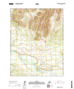
2017 Map of Chandalar A-2 NW
USGS Topo · Published 2017About this map
The Teedriinjik River dominates the southern half of this landscape, its wide channel and braided paths cutting through the Interior Alaska wilderness. This 2017 survey by the U.S. Geological Survey shows a largely uninhabited region where topography is defined by the high elevations of the Chandalar quadrangle. In the northern sections, the drainage of Flat Cr flows toward the larger river system, tracing a path through the various township and range lines including t28n r2w and t27n r1w. The map preserves the indigenous nomenclature of the river, providing a precise geographic record of this remote area's natural hydrography and elevation before further changes occur in the subarctic environment.
Find a feature on this map
6 named features on this map. Tap any name to fly to it.
Don’t see what you’re looking for? This feature index may not catch every label — zoom into the map to look around manually.
Map Details
Editions of this 2017 Chandalar A-2 NW Map
This is the sole edition of this map. No revisions or reprints were ever made.
Other maps of this area

1951 · Chandalar
USGS Topo · 1:250,000

1956 · Chandalar
USGS Topo · 1:250,000

1964 · Chandalar
USGS Topo · 1:250,000
1990 · Chandalar A-2
USGS Topo · 1:63,360
1990 · Chandalar B-3
USGS Topo · 1:63,360
1990 · Chandalar A-3
USGS Topo · 1:63,360
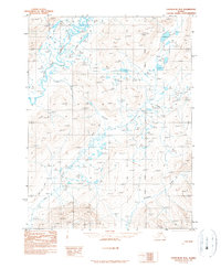
1990 · Chandalar B-2
USGS Topo · 1:63,360
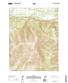
2017 · Chandalar A-2 SE
USGS Topo · 1:25,000
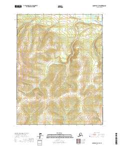
2017 · Chandalar A-2 SW
USGS Topo · 1:25,000
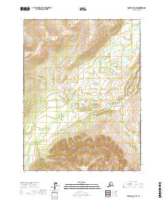
2017 · Chandalar B-2 SW
USGS Topo · 1:25,000