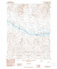
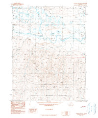
1990 Map of Chandalar A-2
USGS Topo · Published 1990About this map
The Chandalar River dominates this northern Alaskan interior landscape, winding through a complex network of braids and tributaries. This 1980s-era topographic survey captures the transition from the rising slopes of Sixtyone Mountain down into the expansive Yukon Flats, an area protected as the Yukon Flats National Wildlife Refuge. Human presence is sparse and seasonally dependent, evidenced by the Sixtyone Mile Cabin and various segments of Winter Trail that provide transit across the frozen marshes and river valleys. The map illustrates a wilderness defined by water and elevation, where Funchion Creek and Schilling Creek drain the surrounding heights into the primary river basin. The Fairbanks Meridian serves as the primary longitudinal reference point for this remote section of the Yukon-Koyukuk region.
Find a feature on this map
10 named features on this map. Tap any name to fly to it.
Don’t see what you’re looking for? This feature index may not catch every label — zoom into the map to look around manually.
Map Details
Editions of this 1990 Chandalar A-2 Map
This is the sole edition of this map. No revisions or reprints were ever made.
Other maps of this area

1951 · Chandalar
USGS Topo · 1:250,000

1951 · Beaver
USGS Topo · 1:250,000

1956 · Chandalar
USGS Topo · 1:250,000

1956 · Beaver
USGS Topo · 1:250,000

1964 · Chandalar
USGS Topo · 1:250,000

1964 · Beaver
USGS Topo · 1:250,000
1990 · Chandalar A-1
USGS Topo · 1:63,360
1990 · Chandalar B-3
USGS Topo · 1:63,360
1990 · Chandalar B-1
USGS Topo · 1:63,360
1990 · Chandalar A-3
USGS Topo · 1:63,360