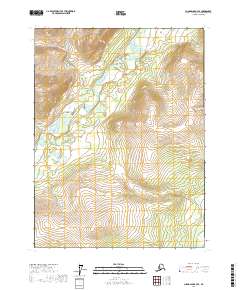
2017 Map of Chandalar B-3 SE
USGS Topo · Published 2017About this map
The Middle Fork Chandalar River winds through this northern interior landscape, creating a broad valley floor defined by a complex network of wetlands and meanders. Two significant tributaries, Dictator Cr and Agitator Cr, flow into this drainage system from the surrounding high elevations. The topography is marked by steep ridges and deep valleys, illustrated through precise contour mapping that shows the sharp relief of this unpopulated wilderness area. This 2017 survey captures the drainage patterns and hydrologic character of the Yukon-Koyukuk region, providing a detailed look at the watershed before further environmental shifts. The lack of roads or established settlements highlights the remote nature of the terrain, where watercourses like the Middle Fork Chandalar River remain the primary geographical landmarks.
Find a feature on this map
7 named features on this map. Tap any name to fly to it.
Don’t see what you’re looking for? This feature index may not catch every label — zoom into the map to look around manually.
Map Details
Editions of this 2017 Chandalar B-3 SE Map
This is the sole edition of this map. No revisions or reprints were ever made.
Other maps of this area

1951 · Chandalar
USGS Topo · 1:250,000

1956 · Chandalar
USGS Topo · 1:250,000

1964 · Chandalar
USGS Topo · 1:250,000
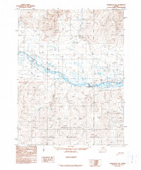
1990 · Chandalar A-2
USGS Topo · 1:63,360
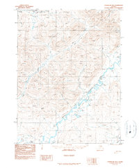
1990 · Chandalar B-3
USGS Topo · 1:63,360
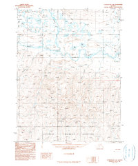
1990 · Chandalar A-3
USGS Topo · 1:63,360
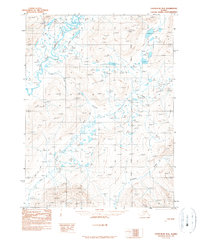
1990 · Chandalar B-2
USGS Topo · 1:63,360
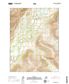
2017 · Chandalar B-2 NW
USGS Topo · 1:25,000
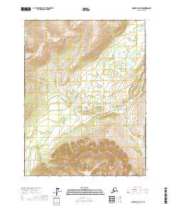
2017 · Chandalar B-2 SW
USGS Topo · 1:25,000
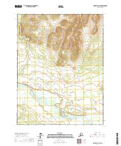
2017 · Chandalar A-2 NW
USGS Topo · 1:25,000