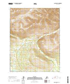
2017 Map of Chandalar B-4 SE
USGS Topo · Published 2017About this map
Goldbug Creek and Big Creek drain the high interior of the Yukon-Koyukuk region, defining the primary drainage patterns through this northern Alaskan landscape. The terrain is marked by significant elevation changes, with ridges rising steeply above the creek beds and numerous seasonal wetlands dotting the lower basins between the ridges. Surveyed as part of the Public Land Survey System, the map detail encompasses portions of t29n r5w, t29n r4w, t28n r5w, and t28n r4w. This specific survey emphasizes the natural hydrography and topography of the Brooks Range foothills, providing a clear picture of the watercourses that have historically guided exploration and passage through this portion of the Chandalar River watershed.
Find a feature on this map
6 named features on this map. Tap any name to fly to it.
Don’t see what you’re looking for? This feature index may not catch every label — zoom into the map to look around manually.
Map Details
Editions of this 2017 Chandalar B-4 SE Map
This is the sole edition of this map. No revisions or reprints were ever made.
Other maps of this area

1951 · Chandalar
USGS Topo · 1:250,000

1956 · Chandalar
USGS Topo · 1:250,000

1964 · Chandalar
USGS Topo · 1:250,000
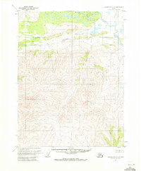
1970 · Chandalar A-4
USGS Topo · 1:63,360
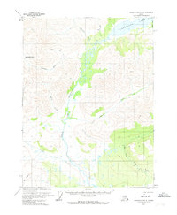
1971 · Chandalar B-4
USGS Topo · 1:63,360
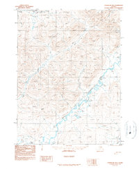
1990 · Chandalar B-3
USGS Topo · 1:63,360
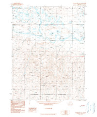
1990 · Chandalar A-3
USGS Topo · 1:63,360
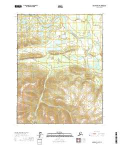
2017 · Chandalar A-4 NE
USGS Topo · 1:25,000
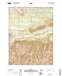
2017 · Chandalar A-4 NW
USGS Topo · 1:25,000
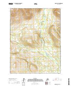
2017 · Chandalar B-4 SW
USGS Topo · 1:25,000