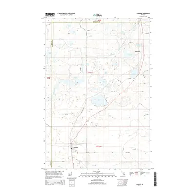
2014 Map of Channing
USGS Topo · Published 2014About this map
The Michigamme River winds through this Upper Peninsula landscape, marking the convergence of Iron, Dickinson, and Marquette counties. The settlement of Channing serves as a primary hub in the southwest, featuring a distinct street grid near the intersection of M-95 and Channing Rd. To the south, the Channing Cem and the Ford River provide important points of reference for local historians and genealogists.
Find a feature on this map
67 named features on this map. Tap any name to fly to it.
Don’t see what you’re looking for? This feature index may not catch every label — zoom into the map to look around manually.
Map Details
Editions of this 2014 Channing Map
This is the sole edition of this map. No revisions or reprints were ever made.
Other maps of this area

1899 · Sagola
USGS Topo · 1:62,500

1899 · Witbeck
USGS Topo · 1:62,500

1947 · Kiernan
USGS Topo · 1:24,000

1947 · Lake Mary
USGS Topo · 1:24,000

1955 · Witch Lake
USGS Topo · 1:24,000

1955 · Ralph NW
USGS Topo · 1:24,000

1955 · Republic
USGS Topo · 1:62,500

1955 · Witch Lake
USGS Topo · 1:62,500

1955 · Republic SW
USGS Topo · 1:24,000

1955 · Ralph
USGS Topo · 1:62,500