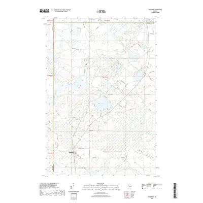
2019 Map of Channing
USGS Topo · Published 2019About this map
Channing serves as a primary settlement in this Upper Peninsula landscape, situated near the intersection of the Ford River and the northern reaches of the Michigamme River. The area is characterized by an extensive network of water bodies, including Sawyer Lake, Silver Lake, and the smaller Coy Lake. These lakes are connected by a web of local roads such as Newberg Rd and Sawyer Lake Rd, reflecting a landscape deeply shaped by its glacial hydrology and modern recreation. To the south, the Channing Cem provides a point of genealogical interest for those tracing local families. The presence of smaller settlements like Floodwood and Golden suggests a history of clustered communities that grew around timber or early rail transport in this heavily wooded region of Dickinson and Iron Counties.
Find a feature on this map
62 named features on this map. Tap any name to fly to it.
Don’t see what you’re looking for? This feature index may not catch every label — zoom into the map to look around manually.
Map Details
Editions of this 2019 Channing Map
This is the sole edition of this map. No revisions or reprints were ever made.
Other maps of this area

1899 · Sagola
USGS Topo · 1:62,500

1899 · Witbeck
USGS Topo · 1:62,500

1947 · Kiernan
USGS Topo · 1:24,000

1947 · Lake Mary
USGS Topo · 1:24,000

1955 · Witch Lake
USGS Topo · 1:24,000

1955 · Ralph NW
USGS Topo · 1:24,000

1955 · Republic
USGS Topo · 1:62,500

1955 · Witch Lake
USGS Topo · 1:62,500

1955 · Republic SW
USGS Topo · 1:24,000

1955 · Ralph
USGS Topo · 1:62,500