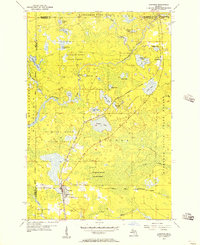
1955 Map of Channing
USGS Topo · Published 1957About this map
The village of Channing serves as a critical railroad junction in the mid-1950s, where the Chicago Milwaukee St Paul and Pacific meets the Escanaba and Lake Superior line. This intersection defines the local economy and settlement pattern, with the town footprint including the Channing Cem and a concentration of structures near the rail yards. The surrounding landscape is dominated by the sprawling reaches of the Michigamme State Forest and Sturgeon River State Forest, creating a mosaic of timberland and water.
Find a feature on this map
35 named features on this map. Tap any name to fly to it.
Don’t see what you’re looking for? This feature index may not catch every label — zoom into the map to look around manually.
Map Details
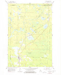
Editions of this 1955 Channing Map
2 editions found
Other maps of this area

1899 · Sagola
USGS Topo · 1:62,500

1899 · Witbeck
USGS Topo · 1:62,500

1947 · Kiernan
USGS Topo · 1:24,000

1947 · Lake Mary
USGS Topo · 1:24,000

1955 · Witch Lake
USGS Topo · 1:24,000

1955 · Ralph NW
USGS Topo · 1:24,000

1955 · Republic
USGS Topo · 1:62,500

1955 · Witch Lake
USGS Topo · 1:62,500

1955 · Republic SW
USGS Topo · 1:24,000

1955 · Ralph
USGS Topo · 1:62,500