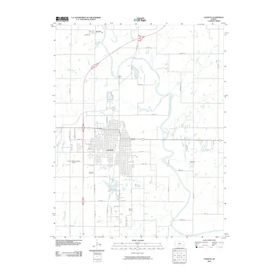
2022 Map of Chanute
USGS Topo · Published 2022About this map
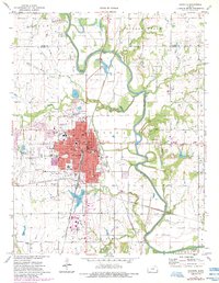
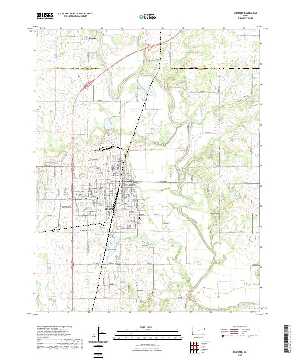
The Neosho River defines the landscape of this region, meandering through a valley of floodplains and oxbows just east of the city of Chanute. This survey captures the town’s significant institutional footprint, including the Neosho County District Courthouse Chanute Division and the Neosho County Community College-Chanute campus. The settlement pattern reveals a densely gridded urban center that transitions into a network of section-line roads and creek drainages like Village Creek and Little Turkey Cr.
Find a feature on this map
84 named features on this map. Tap any name to fly to it.
Don’t see what you’re looking for? This feature index may not catch every label — zoom into the map to look around manually.
Map Details
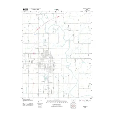
Editions of this 2022 Chanute Map
This is the sole edition of this map. No revisions or reprints were ever made.
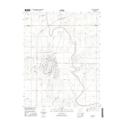
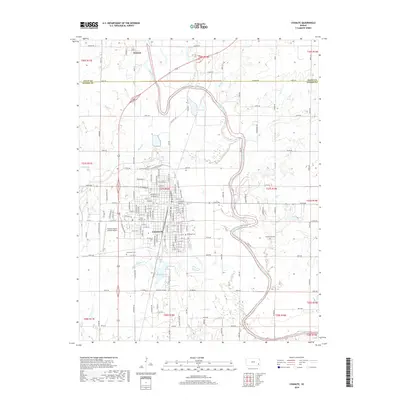
Historical Maps of Chanute Through Time
9 maps found