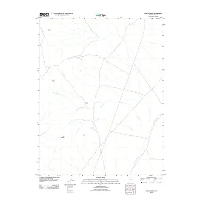
2012 Map of Chaos Creek
USGS Topo · Published 2012About this map
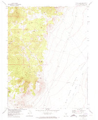
The Needle Range and the prominent peaks of The Needles define the western reaches of this Nye County landscape. This high desert terrain is marked by a complex network of ephemeral drainages and vital water sources, including the many branches of Chaos Creek and Cabin Creek. The convergence of Middle Fork Chaos Creek, South Fork Chaos Creek, and North Fork Cabin Creek creates a distinct hydrological pattern centered near the landmark Chaos Knob.
Find a feature on this map
13 named features on this map. Tap any name to fly to it.
Don’t see what you’re looking for? This feature index may not catch every label — zoom into the map to look around manually.
Map Details
Editions of this 2012 Chaos Creek Map
This is the sole edition of this map. No revisions or reprints were ever made.
Other maps of this area

1956 · Lund
USGS Topo · 1:250,000

1956 · Tonopah
USGS Topo · 1:250,000

1959 · Tonopah
USGS Topo · 1:250,000

1960 · Lund
USGS Topo · 1:250,000

1962 · Tonopah
USGS Topo · 1:250,000
1967 · Moores Station
USGS Topo · 1:62,500
1967 · Moores Station SE
USGS Topo · 1:24,000
1967 · Moores Station
USGS Topo · 1:24,000
1967 · Chaos Creek
USGS Topo · 1:24,000
1967 · Moores Station SW
USGS Topo · 1:24,000