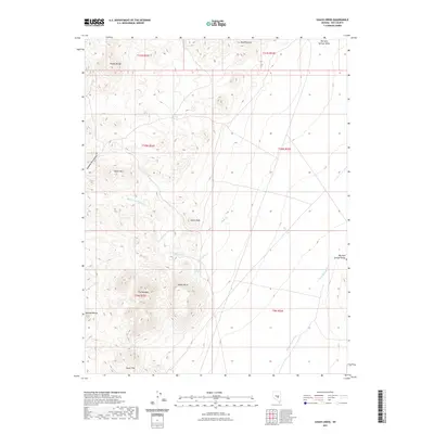
2021 Map of Chaos Creek
USGS Topo · Published 2021About this map
Squaw Wells Spring and Needles Spring serve as critical water points in this arid stretch of Nye County, where the desert landscape is defined by its complex geological formations. The central drainage of Chaos Cr and its various forks, including the Middle Fork Chaos Cr, give way to a series of named elevations such as Chaos Knob and Basalt Butte. To the west, the Needle Range and Squaw Hills rise sharply, creating a rugged western boundary for the quadrangle.
Find a feature on this map
24 named features on this map. Tap any name to fly to it.
Don’t see what you’re looking for? This feature index may not catch every label — zoom into the map to look around manually.
Map Details
Editions of this 2021 Chaos Creek Map
This is the sole edition of this map. No revisions or reprints were ever made.
Other maps of this area

1956 · Lund
USGS Topo · 1:250,000

1956 · Tonopah
USGS Topo · 1:250,000

1959 · Tonopah
USGS Topo · 1:250,000

1960 · Lund
USGS Topo · 1:250,000

1962 · Tonopah
USGS Topo · 1:250,000
1967 · Moores Station
USGS Topo · 1:62,500
1967 · Moores Station SE
USGS Topo · 1:24,000
1967 · Moores Station
USGS Topo · 1:24,000
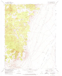
1967 · Chaos Creek
USGS Topo · 1:24,000
1967 · Moores Station SW
USGS Topo · 1:24,000