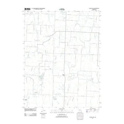
2011 Map of Chapel Hill
USGS Topo · Published 2011About this map
The unincorporated community of Chapel Hill serves as a central anchor in this Missouri landscape, situated where the drainages of the South Fork Blackwater River and North Fork Blackwater River begin their eastward journey. The terrain is defined by a dense network of watercourses, including the westward-flowing Sni-A-Bar Creek and its tributary, East Fork Sni-A-Bar Creek. This hydrology shaped the early settlement patterns of the region, visible here through the placement of several family and community burial grounds.
Find a feature on this map
91 named features on this map. Tap any name to fly to it.
Don’t see what you’re looking for? This feature index may not catch every label — zoom into the map to look around manually.
Map Details
Editions of this 2011 Chapel Hill Map
This is the sole edition of this map. No revisions or reprints were ever made.
Other maps of this area

1885 · Warrensburg
USGS Topo · 1:125,000

1887 · Harrisonville
USGS Topo · 1:125,000

1887 · Warrensburg
USGS Topo · 1:125,000

1889 · Lexington
USGS Topo · 1:125,000

1892 · Harrisonville
USGS Topo · 1:125,000

1894 · Harrisonville
USGS Topo · 1:125,000

1894 · Independence
USGS Topo · 1:125,000

1894 · Warrensburg
USGS Topo · 1:125,000

1934 · Oak Grove
USGS Topo · 1:24,000

1935 · Tarsney
USGS Topo · 1:24,000