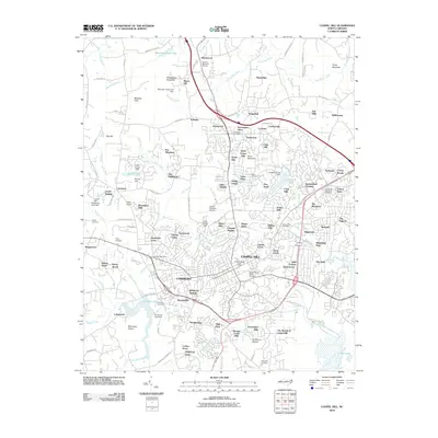
2010 Map of Chapel Hill
USGS Topo · Published 2010About this map
The University of North Carolina campus serves as the cultural and geographic anchor for this 2010 survey of the Research Triangle region. The map details the complex suburban expansion surrounding the historic centers of Chapel Hill and Carrboro, where established neighborhoods like Kensington Trace and Timberlyne meet more recent residential developments. Significant local landmarks such as University Lake and the Meeting of the Waters show the area's intricate drainage system, defined by Morgan Creek and Bolin Creek.
Find a feature on this map
145 named features on this map. Tap any name to fly to it.
Don’t see what you’re looking for? This feature index may not catch every label — zoom into the map to look around manually.
Map Details
Editions of this 2010 Chapel Hill Map
This is the sole edition of this map. No revisions or reprints were ever made.
Other maps of this area

1943 · Durham South
USGS Topo · 1:62,500

1946 · Chapel Hill
USGS Topo · 1:24,000

1947 · Chapel Hill
USGS Topo · 1:31,680

1951 · Farrington
USGS Topo · 1:24,000

1951 · Durham South
USGS Topo · 1:62,500

1951 · Durham North
USGS Topo · 1:62,500

1953 · Raleigh
USGS Topo · 1:250,000

1953 · Greensboro
USGS Topo · 1:250,000

1954 · Greensboro
USGS Topo · 1:250,000

1954 · Raleigh
USGS Topo · 1:250,000