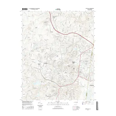
2016 Map of Chapel Hill
USGS Topo · Published 2016About this map
The Univ of N Carolina at Chapel Hill anchors this 2016 survey, revealing the modern academic and residential layout of one of North Carolina's primary educational hubs. The terrain is defined by a series of distinct heights and water bodies, ranging from Blackwood Mtn and Iron Mine Hill to the expansive University Lake and Eastwood Lake. Residential developments like Tenney Circle, Davie Circle, and Plantation Acres show the post-war suburban evolution surrounding the university core.
Find a feature on this map
337 named features on this map. Tap any name to fly to it.
Don’t see what you’re looking for? This feature index may not catch every label — zoom into the map to look around manually.
Map Details
Editions of this 2016 Chapel Hill Map
This is the sole edition of this map. No revisions or reprints were ever made.
Other maps of this area

1943 · Durham South
USGS Topo · 1:62,500

1946 · Chapel Hill
USGS Topo · 1:24,000

1947 · Chapel Hill
USGS Topo · 1:31,680

1951 · Farrington
USGS Topo · 1:24,000

1951 · Durham South
USGS Topo · 1:62,500

1951 · Durham North
USGS Topo · 1:62,500

1953 · Raleigh
USGS Topo · 1:250,000

1953 · Greensboro
USGS Topo · 1:250,000

1954 · Greensboro
USGS Topo · 1:250,000

1954 · Raleigh
USGS Topo · 1:250,000