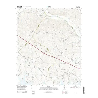
2014 Map of Chapin
USGS Topo · Published 2014About this map
Lake Murray borders the southern reaches of this landscape, where the waters of Stinking Cr and Dutchman Shores Cir meet the reservoir. This area serves as a significant intersection of South Carolina geography, where Newberry, Lexington, Fairfield, and Richland counties all converge. The Broad River defines the northern boundary, characterized by Busbys Shoals and Chapels Shoals near the community of Alston. Moving inland, the Columbia Newberry & Laurens RR cuts through the terrain, connecting the settlements of Chapin, Hilton, and White Rock. Family history is deeply rooted here, evidenced by a high density of small burial grounds such as the Thomas Boyd Cem, Meetze-Orris Cem, and Jacob Eargle Cem, which dot the rural landscape between Summerville and Spring Hill.
Find a feature on this map
180 named features on this map. Tap any name to fly to it.
Don’t see what you’re looking for? This feature index may not catch every label — zoom into the map to look around manually.
Map Details
Editions of this 2014 Chapin Map
This is the sole edition of this map. No revisions or reprints were ever made.
Other maps of this area

1904 · Columbia
USGS Topo · 1:125,000

1941 · Spartanburg
USGS Topo · 1:250,000

1946 · Irmo
USGS Topo · 1:24,000

1947 · Richtex
USGS Topo · 1:24,000

1948 · Irmo
USGS Topo · 1:24,000

1949 · Richtex
USGS Topo · 1:24,000

1953 · Spartanburg
USGS Topo · 1:250,000

1960 · Spartanburg
USGS Topo · 1:250,000

1963 · Spartanburg
USGS Topo · 1:250,000

1964 · Spartanburg
USGS Topo · 1:250,000