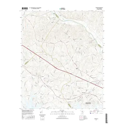
2017 Map of Chapin
USGS Topo · Published 2017About this map
Lake Murray dominates the southern landscape of this mid-2010s survey, its branching fingers reaching into the rolling hills of the South Carolina midlands. The map documents the intricate meeting point of Newberry, Fairfield, Richland, and Lexington counties, centered on the growing town of Chapin. North of town, the terrain slopes toward the Broad River, where landmarks like Busbys Shoals and Hampton Island define the waterway near the rail-linked settlements of Peak and Alston.
Find a feature on this map
162 named features on this map. Tap any name to fly to it.
Don’t see what you’re looking for? This feature index may not catch every label — zoom into the map to look around manually.
Map Details
Editions of this 2017 Chapin Map
This is the sole edition of this map. No revisions or reprints were ever made.
Other maps of this area

1904 · Columbia
USGS Topo · 1:125,000

1941 · Spartanburg
USGS Topo · 1:250,000

1946 · Irmo
USGS Topo · 1:24,000

1947 · Richtex
USGS Topo · 1:24,000

1948 · Irmo
USGS Topo · 1:24,000

1949 · Richtex
USGS Topo · 1:24,000

1953 · Spartanburg
USGS Topo · 1:250,000

1960 · Spartanburg
USGS Topo · 1:250,000

1963 · Spartanburg
USGS Topo · 1:250,000

1964 · Spartanburg
USGS Topo · 1:250,000