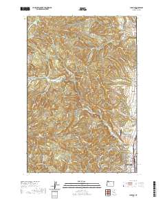
2020 Map of Chapman
USGS Topo · Published 2020About this map
Scappoose serves as the focal point for this survey of the foothills west of the Columbia River, showing the city's modern layout and its proximity to the rural agricultural and timbered lands of Columbia County. The landscape is defined by the drainages of N Scappoose Cr and S Scappoose Cr, which flow through deep-cut valleys like Dutch Canyon. To the north and west, smaller settlements such as Chapman, Spitzenberg, and Yankton maintain their distinct identities amid the rising elevations of Bunker Hill and Bald Hill.
Find a feature on this map
119 named features on this map. Tap any name to fly to it.
Don’t see what you’re looking for? This feature index may not catch every label — zoom into the map to look around manually.
Map Details
Editions of this 2020 Chapman Map
This is the sole edition of this map. No revisions or reprints were ever made.
Other maps of this area

1915 · Hillsboro
USGS Topo · 1:62,500

1918 · Hillsboro
USGS Topo · 1:62,500

1922 · St. Helens
USGS Topo · 1:62,500

1940 · Hillsboro
USGS Topo · 1:62,500

1940 · Vernonia
USGS Topo · 1:62,500

1941 · St Helens
USGS Topo · 1:62,500

1941 · Gales Creek
USGS Topo · 1:62,500

1943 · Vernonia
USGS Topo · 1:62,500

1943 · St Helens
USGS Topo · 1:62,500

1948 · Vancouver
USGS Topo · 1:250,000