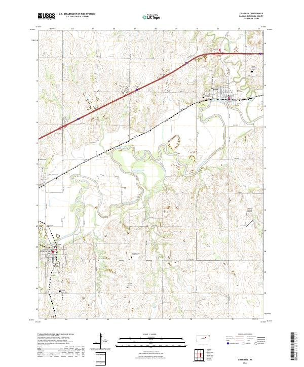
2022 Map of Chapman
USGS Topo · Published 2022About this map
The Smoky Hill River meanders through the heart of this Dickinson County landscape, carving a wide alluvial valley that defines the local topography and settlement patterns. The town of Chapman sits at the confluence with Chapman Cr, its residential grid reaching north from the riverbanks. To the southwest, the town of Enterprise occupies a bend in the river, showing a dense network of streets and local infrastructure.
Find a feature on this map
58 named features on this map. Tap any name to fly to it.
Don’t see what you’re looking for? This feature index may not catch every label — zoom into the map to look around manually.
Map Details
Editions of this 2022 Chapman Map
This is the sole edition of this map. No revisions or reprints were ever made.
Other maps of this area

1886 · Junction City
USGS Topo · 1:125,000

1889 · Junction City
USGS Topo · 1:125,000

1889 · Abilene
USGS Topo · 1:125,000

1889 · Parkerville
USGS Topo · 1:125,000

1891 · Clay Center
USGS Topo · 1:125,000

1894 · Junction City
USGS Topo · 1:125,000

1894 · Abilene
USGS Topo · 1:125,000

1894 · Parkerville
USGS Topo · 1:125,000

1947 · Fort Riley
USGS Topo · 1:62,500

1950 · Alida
USGS Topo · 1:24,000