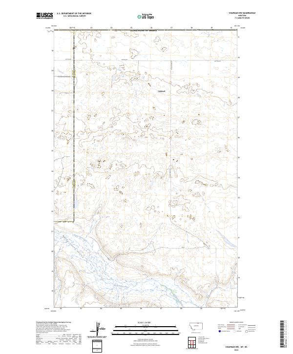
2024 Map of Chapman NW
USGS Topo · Published 2024About this map
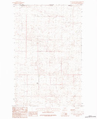
Caldwell sits in the northern reaches of the northern Montana plains, just below the international border with the United States of America. This high-prairie landscape is defined by the wandering drainage of Woody Island Creek and the adjacent Woody Island Coulee, which cut through the southern half of the quadrangle. The terrain is marked by a sparse network of section-line roads and tracks, including Hutton Rd and N Sunnyslope Rd, reflecting the expansive agricultural and grazing parcels of Phillips and Blaine counties. The map illustrates the characteristic township and range grid system of the West, spanning portions of t37n r27e and t36n r27e, where remote homesteads and isolated rural routes like 107 N Off Hutton 3rds provide the primary access to this vast, open country.
Find a feature on this map
12 named features on this map. Tap any name to fly to it.
Don’t see what you’re looking for? This feature index may not catch every label — zoom into the map to look around manually.
Map Details
Editions of this 2024 Chapman NW Map
This is the sole edition of this map. No revisions or reprints were ever made.
Other maps of this area

1920 · Avery
USGS Topo · 1:125,000

1953 · Havre
USGS Topo · 1:250,000

1957 · Havre
USGS Topo · 1:250,000

1958 · Havre
USGS Topo · 1:250,000

1984 · Chapman
USGS Topo · 1:24,000
1984 · Chapman NW
USGS Topo · 1:24,000

1984 · Turner NE
USGS Topo · 1:24,000
1984 · Horseshoe Lake
USGS Topo · 1:24,000
1984 · Turner SE
USGS Topo · 1:24,000
1984 · Sunny Slope School
USGS Topo · 1:24,000