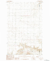
1984 Map of Turner SE
USGS Topo · Published 1984About this map
Black Coulee and Little Jewel Coulee carve through the high plains of north-central Montana, defining the drainage patterns of this quiet landscape in the mid-1980s. This survey focuses on the boundary where Blaine Co meets Phillips Co, a region characterized by isolated topography and traditional section lines rather than dense settlement. The map documents the intricate contouring of the coulees, which serve as the primary geological landmarks in an area otherwise marked by seasonal watercourses and wide-open rangeland. Researchers will find a precise representation of the township and range system, illustrating the late-20th-century land management patterns that have long defined this portion of the Montana prairie.
Find a feature on this map
3 named features on this map. Tap any name to fly to it.
Don’t see what you’re looking for? This feature index may not catch every label — zoom into the map to look around manually.
Map Details
Editions of this 1984 Turner SE Map
This is the sole edition of this map. No revisions or reprints were ever made.
Other maps of this area

1920 · Avery
USGS Topo · 1:125,000

1953 · Havre
USGS Topo · 1:250,000

1957 · Havre
USGS Topo · 1:250,000

1958 · Havre
USGS Topo · 1:250,000

1984 · Chapman
USGS Topo · 1:24,000

1984 · Emerick Bench
USGS Topo · 1:24,000
1984 · Chapman NW
USGS Topo · 1:24,000

1984 · Turner
USGS Topo · 1:24,000

1984 · Turner NE
USGS Topo · 1:24,000
1984 · Down Reservoir NW
USGS Topo · 1:24,000