
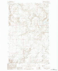
1984 Map of Emerick Bench
USGS Topo · Published 1984About this map
Emerick Bench and its surrounding plateau define this landscape in Phillips County, recorded during the late 1970s. The terrain is deeply incised by a network of drainage channels, primarily coulees that feed toward larger water systems. To the north, Black Coulee and Island Coulee mark the upper reaches of the sheet, while Haystack Butte provides a prominent vertical landmark in the northeastern corner.
Find a feature on this map
12 named features on this map. Tap any name to fly to it.
Don’t see what you’re looking for? This feature index may not catch every label — zoom into the map to look around manually.
Map Details
Editions of this 1984 Emerick Bench Map
This is the sole edition of this map. No revisions or reprints were ever made.
Other maps of this area

1920 · Avery
USGS Topo · 1:125,000

1953 · Havre
USGS Topo · 1:250,000

1957 · Havre
USGS Topo · 1:250,000

1958 · Havre
USGS Topo · 1:250,000

1984 · Chapman
USGS Topo · 1:24,000
1984 · Hubert Hill SW
USGS Topo · 1:24,000
1984 · Down Reservoir NE
USGS Topo · 1:24,000
1984 · Hubert Hill SE
USGS Topo · 1:24,000
1984 · Down Reservoir
USGS Topo · 1:24,000
1984 · Horseshoe Lake
USGS Topo · 1:24,000