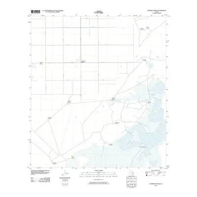
2010 Map of Chapman Ranch
USGS Topo · Published 2010About this map
Chapman Ranch serves as the central hub of this coastal Texas landscape, where the flat topography of Nueces County meets the intricate wetlands of Laguna Larga. The map reveals a highly structured agricultural and ranching environment defined by a rigid grid of county roads, such as Co RD 14 and Co RD 43. This survey is particularly notable for its dense concentration of named windmills, which are vital infrastructure in this arid coastal prairie. Family-named and descriptive landmarks like Noria del Bordo Windmill, Santa Cruz Windmill, and Garcias Windmill are scattered across the terrain, reflecting the long history of land management and water access in the region. Near the main settlement, the Chapman Ranch Cemetery provides a specific point of interest for genealogists tracing the legacy of this ranching community.
Find a feature on this map
26 named features on this map. Tap any name to fly to it.
Don’t see what you’re looking for? This feature index may not catch every label — zoom into the map to look around manually.
Map Details
Editions of this 2010 Chapman Ranch Map
This is the sole edition of this map. No revisions or reprints were ever made.
Other maps of this area

1924 · Petronilla
USGS Topo · 1:62,500

1925 · Oso Creek
USGS Topo · 1:62,500

1928 · Sarita
USGS Topo · 1:125,000

1950 · Corpus Christi
USGS Topo · 1:250,000

1951 · South Bird Island
USGS Topo · 1:24,000

1951 · South Bird Island NW
USGS Topo · 1:24,000

1951 · Oso Creek NW
USGS Topo · 1:24,000

1951 · Oso Creek NE
USGS Topo · 1:24,000

1951 · Riviera Beach NE
USGS Topo · 1:24,000

1951 · Oso Creek
USGS Topo · 1:62,500