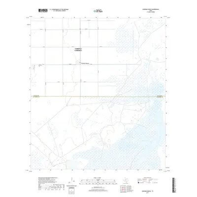
2019 Map of Chapman Ranch
USGS Topo · Published 2019About this map
Chapman Ranch sits at the center of this South Texas coastal landscape, where the agricultural grid meets the expansive wetlands of the Gulf Coast. The area is defined by its deep historical ties to the ranching and farming operations that shaped the region south of Corpus Christi. Evidence of the local settlement history is preserved at the Chapman Ranch Cem and the local Po, situated along the intersection of FM 70 and Co RD 8. To the south, the terrain shifts from the orderly sections of farmland to the natural basins and inlets of Laguna Larga, marking the boundary where Nueces Co meets Kleberg County. This 2019 survey documents the enduring road network and drainage patterns, including a significant local Stream, that continue to support the area's rural economy.
Find a feature on this map
18 named features on this map. Tap any name to fly to it.
Don’t see what you’re looking for? This feature index may not catch every label — zoom into the map to look around manually.
Map Details
Editions of this 2019 Chapman Ranch Map
This is the sole edition of this map. No revisions or reprints were ever made.
Other maps of this area
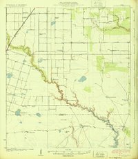
1924 · Petronilla
USGS Topo · 1:62,500
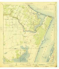
1925 · Oso Creek
USGS Topo · 1:62,500
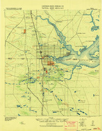
1928 · Sarita
USGS Topo · 1:125,000
1950 · Corpus Christi
USGS Topo · 1:250,000
1951 · South Bird Island
USGS Topo · 1:24,000
1951 · South Bird Island NW
USGS Topo · 1:24,000
1951 · Oso Creek NW
USGS Topo · 1:24,000
1951 · Oso Creek NE
USGS Topo · 1:24,000
1951 · Riviera Beach NE
USGS Topo · 1:24,000
1951 · Oso Creek
USGS Topo · 1:62,500