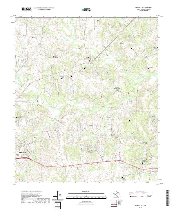
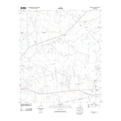
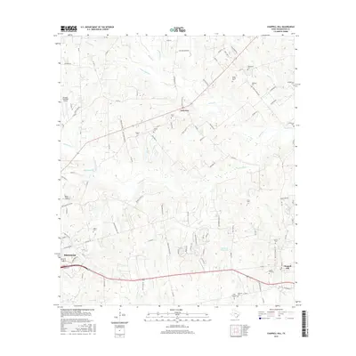
2022 Map of Chappell Hill
USGS Topo · Published 2022About this map
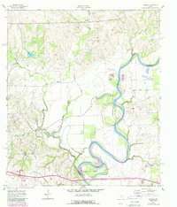
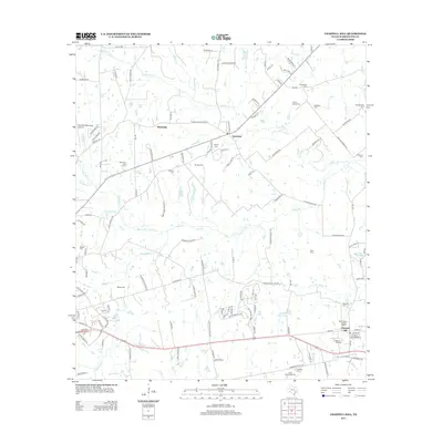
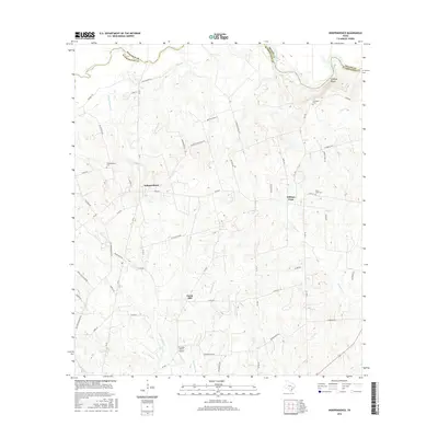
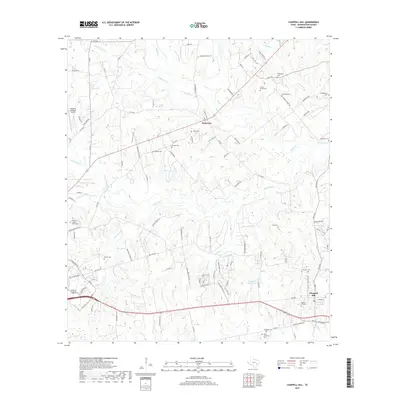
Chappell Hill and the surrounding Washington County countryside are defined by a dense network of family and community burial grounds, reflecting the deep genealogical roots of this Texas region. From the Saint Stanislaus Catholic Cem in the south to the Willingham Cem near the northern boundary, the landscape is punctuated by sites like the Providence Missionary Baptist Church Cem and the Immanuel Lutheran Church Cem. These features, alongside the settlement of Earlywine, reveal a pattern of rural development centered around local congregations and family holdings.
Find a feature on this map
124 named features on this map. Tap any name to fly to it.
Don’t see what you’re looking for? This feature index may not catch every label — zoom into the map to look around manually.
Map Details
Editions of this 2022 Chappell Hill Map
This is the sole edition of this map. No revisions or reprints were ever made.
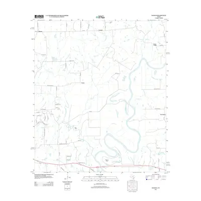
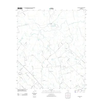
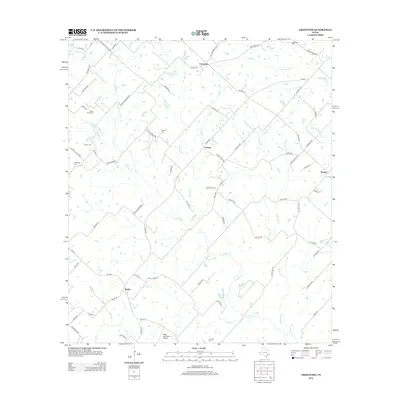
Historical Maps of Brenham Through Time
36 maps found
1958 Greenvine
Washington County, TX
1958 Washington
Washington County, TX
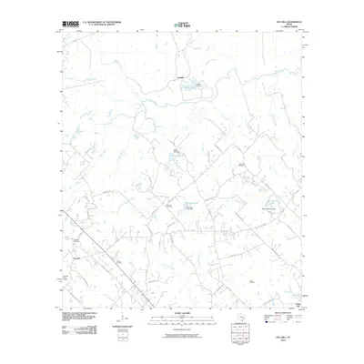
1959 Gay Hill
Washington County, TX
1959 Independence
Washington County, TX
1961 Daniels
Washington County, TX

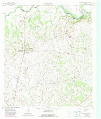
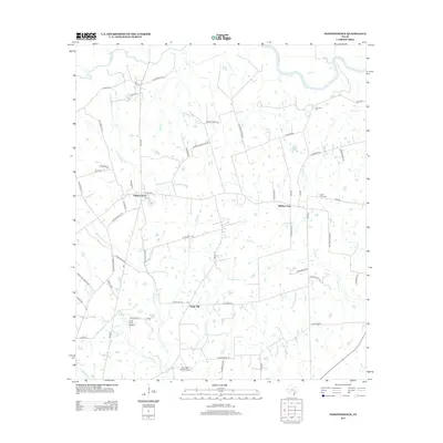
1963 Chappell Hill
Washington County, TX
2010 Chappell Hill
Washington County, TX
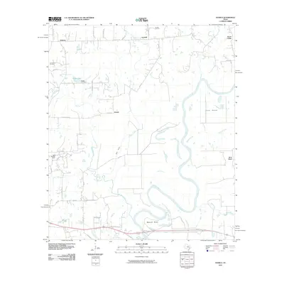
2010 Daniels
Washington County, TX
2010 Gay Hill
Washington County, TX
2010 Greenvine
Washington County, TX
2010 Independence
Washington County, TX
2010 Washington
Washington County, TX
2013 Chappell Hill
Washington County, TX
2013 Daniels
Washington County, TX
2013 Gay Hill
Washington County, TX
2013 Greenvine
Washington County, TX
2013 Independence
Washington County, TX
2013 Washington
Washington County, TX
2016 Chappell Hill
Washington County, TX
2016 Daniels
Washington County, TX
2016 Gay Hill
Washington County, TX
2016 Greenvine
Washington County, TX
2016 Independence
Washington County, TX
2016 Washington
Washington County, TX
2019 Chappell Hill
Washington County, TX
2019 Daniels
Washington County, TX
2019 Gay Hill
Washington County, TX
2019 Greenvine
Washington County, TX
2019 Independence
Washington County, TX
2019 Washington
Washington County, TX
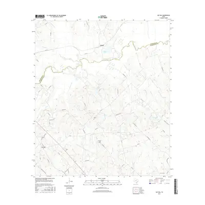
2022 Chappell Hill
Washington County, TX
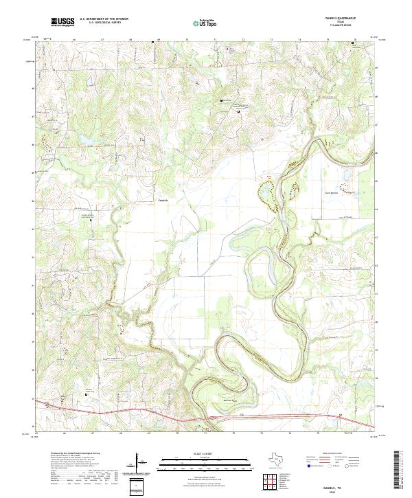
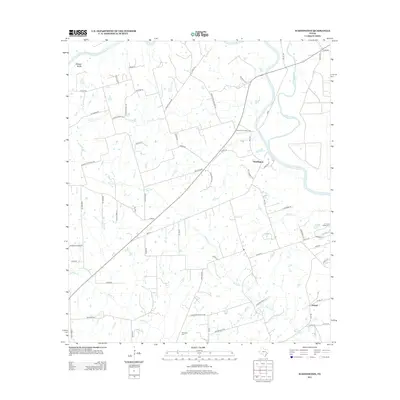
2022 Daniels
Washington County, TX
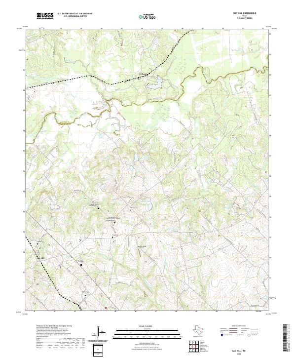
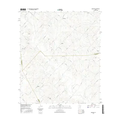
2022 Gay Hill
Washington County, TX
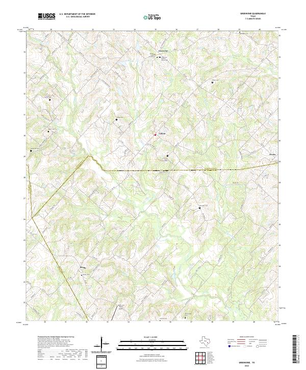
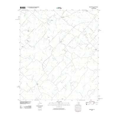
2022 Greenvine
Washington County, TX
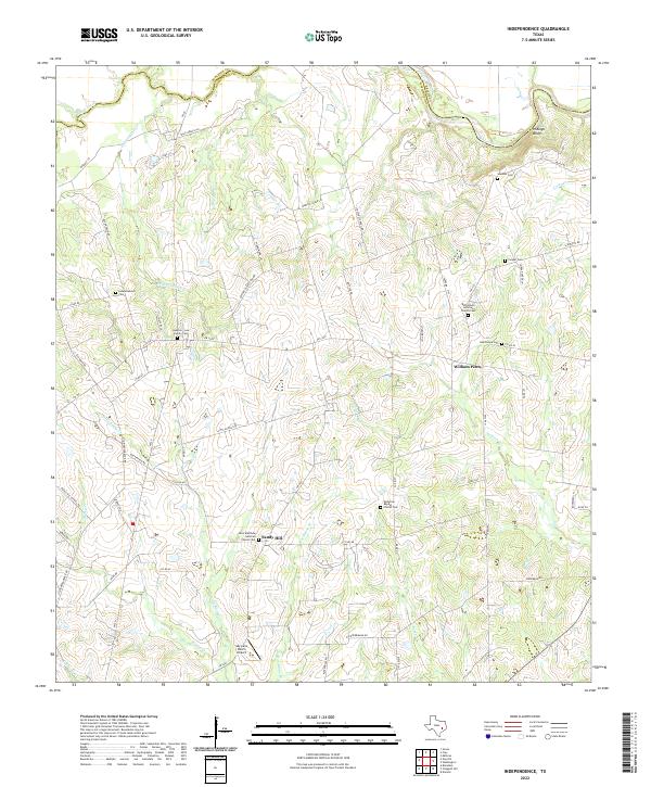
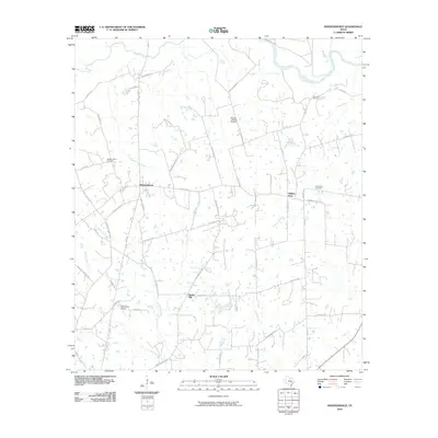
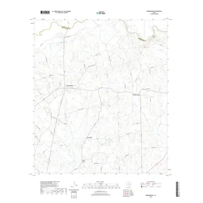
2022 Independence
Washington County, TX
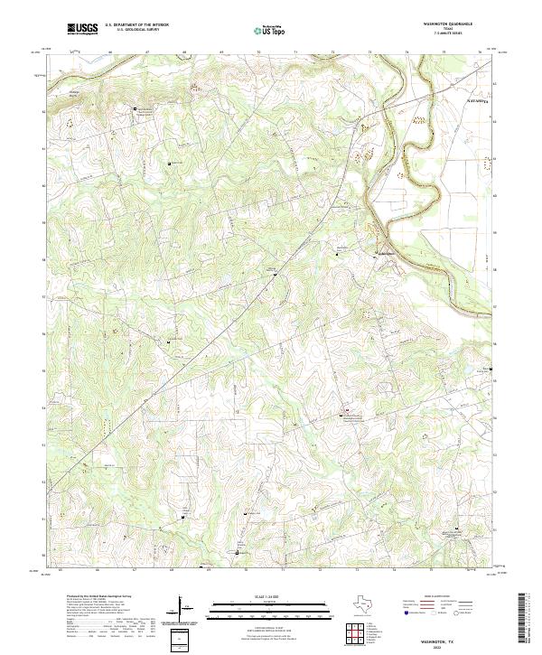
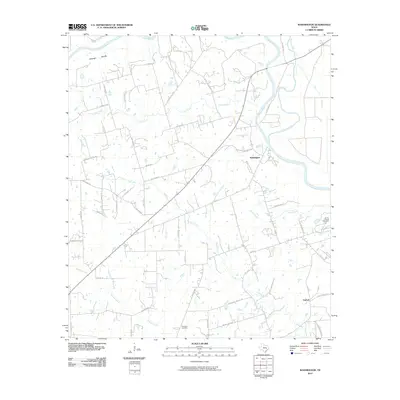
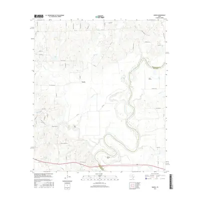
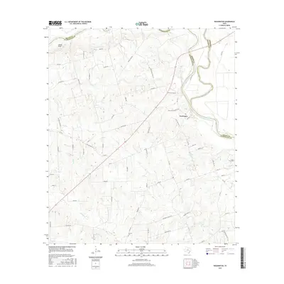
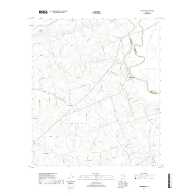
2022 Washington
Washington County, TX