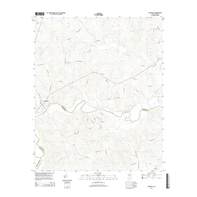
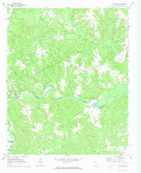
2014 Map of Chappells
USGS Topo · Published 2014About this map
The Saluda River snakes through this landscape, serving as the natural boundary between Newberry and Saluda counties. The settlement of Chappells sits at a historic crossing point, where the river's path is joined by several significant tributaries including Sharps Br and the Little River. This drainage network defines the rural character of the region, where the winding watercourses influenced the placement of early routes such as Island Ford Rd and Silverstreet Rd.
Find a feature on this map
66 named features on this map. Tap any name to fly to it.
Don’t see what you’re looking for? This feature index may not catch every label — zoom into the map to look around manually.
Map Details
Editions of this 2014 Chappells Map
This is the sole edition of this map. No revisions or reprints were ever made.
Other maps of this area

1941 · Spartanburg
USGS Topo · 1:250,000

1953 · Spartanburg
USGS Topo · 1:250,000

1960 · Spartanburg
USGS Topo · 1:250,000

1963 · Spartanburg
USGS Topo · 1:250,000

1964 · Spartanburg
USGS Topo · 1:250,000

1969 · Newberry West
USGS Topo · 1:24,000
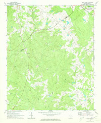
1970 · Bush River
USGS Topo · 1:24,000
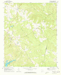
1970 · Cross Hill
USGS Topo · 1:24,000
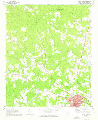
1971 · Saluda North
USGS Topo · 1:24,000
1971 · Chappells
USGS Topo · 1:24,000