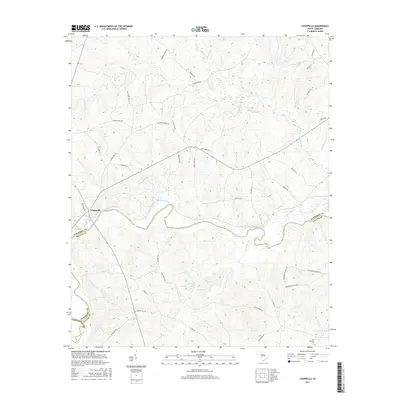
2017 Map of Chappells
USGS Topo · Published 2017About this map
Chappells sits at the northern edge of the Saluda River in this modern survey of the South Carolina backcountry. The landscape is defined by the winding course of the river, which serves as the boundary between Newberry and Saluda Counties. A network of rural roads, including Cross Road Church Rd and Island Ford Rd, connects family-named tracts and provides access to several waterways such as Little River and Terrapin Creek. Genealogists and local historians will find the Pine Pleasant Cem near the southern boundary, while property researchers can trace the drainages of Mudlick Cr and Pages Cr. The map illustrates the contemporary settlement patterns of a region still deeply tied to its hydrology, with R Colemans Pond and numerous unnamed creeks and marshes shaping the habitable terrain.
Find a feature on this map
46 named features on this map. Tap any name to fly to it.
Don’t see what you’re looking for? This feature index may not catch every label — zoom into the map to look around manually.
Map Details
Editions of this 2017 Chappells Map
This is the sole edition of this map. No revisions or reprints were ever made.
Other maps of this area
1941 · Spartanburg
USGS Topo · 1:250,000
1953 · Spartanburg
USGS Topo · 1:250,000
1960 · Spartanburg
USGS Topo · 1:250,000
1963 · Spartanburg
USGS Topo · 1:250,000
1964 · Spartanburg
USGS Topo · 1:250,000
1969 · Newberry West
USGS Topo · 1:24,000
1970 · Bush River
USGS Topo · 1:24,000
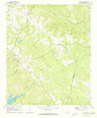
1970 · Cross Hill
USGS Topo · 1:24,000
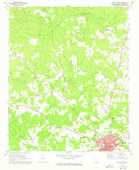
1971 · Saluda North
USGS Topo · 1:24,000
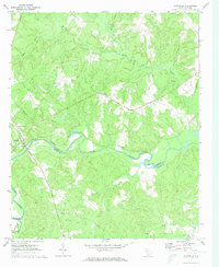
1971 · Chappells
USGS Topo · 1:24,000