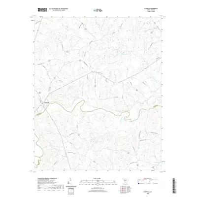
2020 Map of Chappells
USGS Topo · Published 2020About this map
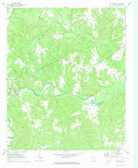
The Saluda River winds through the borderlands of Newberry, Saluda, and Greenwood counties, anchoring a landscape defined by its intricate drainage network and rural road system. Near the river's bend lies the settlement of Chappells, a focal point in a region where water and topography have long shaped human movement. The terrain is marked by numerous tributaries, including Little River, Mudlick Creek, and Terrapin Creek, which carve out the varied elevation of the South Carolina Piedmont.
Find a feature on this map
49 named features on this map. Tap any name to fly to it.
Don’t see what you’re looking for? This feature index may not catch every label — zoom into the map to look around manually.
Map Details
Editions of this 2020 Chappells Map
This is the sole edition of this map. No revisions or reprints were ever made.
Other maps of this area

1941 · Spartanburg
USGS Topo · 1:250,000

1953 · Spartanburg
USGS Topo · 1:250,000

1960 · Spartanburg
USGS Topo · 1:250,000

1963 · Spartanburg
USGS Topo · 1:250,000

1964 · Spartanburg
USGS Topo · 1:250,000

1969 · Newberry West
USGS Topo · 1:24,000
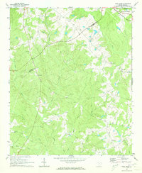
1970 · Bush River
USGS Topo · 1:24,000
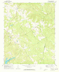
1970 · Cross Hill
USGS Topo · 1:24,000
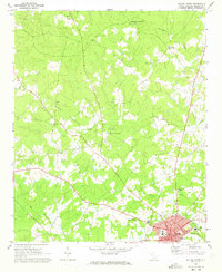
1971 · Saluda North
USGS Topo · 1:24,000
1971 · Chappells
USGS Topo · 1:24,000