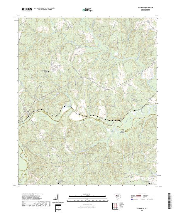
2024 Map of Chappells
USGS Topo · Published 2024About this map
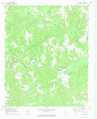
The Saluda River winds through the heart of this region, defining the border between Newberry and Saluda counties. Near the western edge, the settlement of Chappells serves as a key point along the river's path, while the name Old Town Ferry further east recalls the historical river crossings that once linked these rural communities. The landscape is characterized by a dense network of watercourses, including Halfway Swamp Creek, Terrapin Creek, and Mudlick Creek, which drain the timbered and agricultural lands.
Find a feature on this map
55 named features on this map. Tap any name to fly to it.
Don’t see what you’re looking for? This feature index may not catch every label — zoom into the map to look around manually.
Map Details
Editions of this 2024 Chappells Map
This is the sole edition of this map. No revisions or reprints were ever made.
Other maps of this area

1941 · Spartanburg
USGS Topo · 1:250,000

1953 · Spartanburg
USGS Topo · 1:250,000

1960 · Spartanburg
USGS Topo · 1:250,000

1963 · Spartanburg
USGS Topo · 1:250,000

1964 · Spartanburg
USGS Topo · 1:250,000

1969 · Newberry West
USGS Topo · 1:24,000
1970 · Bush River
USGS Topo · 1:24,000
1970 · Cross Hill
USGS Topo · 1:24,000
1971 · Saluda North
USGS Topo · 1:24,000
1971 · Chappells
USGS Topo · 1:24,000