Loading...
Loading map...2023 Map of Charles Town
USGS Topo · Published 2023About this map
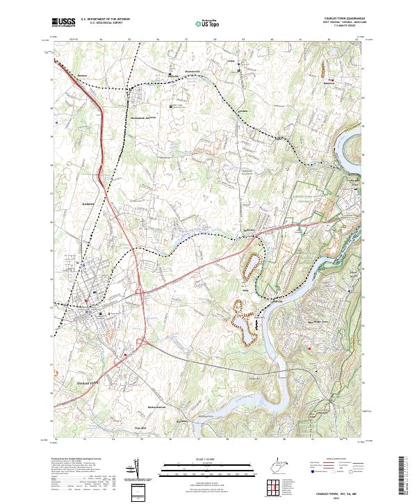
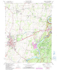
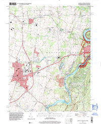
Charles Town and Ranson serve as the focal points for this modern study of West Virginia's eastern panhandle, where the Shenandoah River and Potomac River converge near the famous heights of Harpers Ferry. The landscape is a mix of well-preserved history and modern growth, containing the Harpers Ferry National Historical Park and the rugged path of the Appalachian National Scenic Trail.
Find a feature on this map
55 named features on this map. Tap any name to fly to it.
Don’t see what you’re looking for? This feature index may not catch every label — zoom into the map to look around manually.
Map Details
Date Portrayed2023
Date Published2023
PublisherU.S. Geological Survey
Map TypeTopographic
Scale1:24,000
Physical Dimensions24 x 29 inches
Editions of this 2023 Charles Town Map
This is the sole edition of this map. No revisions or reprints were ever made.
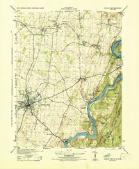
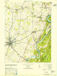
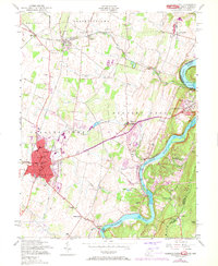
Historical Maps of Charles Town Through Time
6 maps found
Featured Locations
Source Details
SourceU.S. Geological Survey
CopyrightPublic Domain