
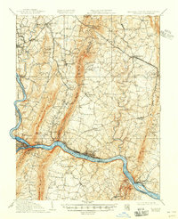
1910 Map of Antietam
USGS Topo · Published 1910About this map
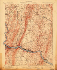
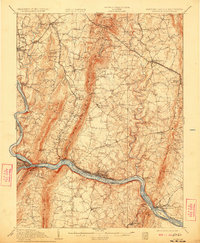
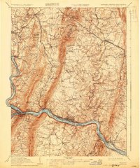
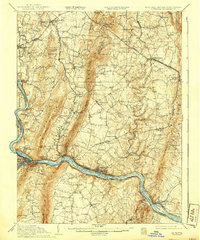
The Potomac River corridor and the sharp ridges of South Mountain define this 1910 study of the Maryland, Virginia, and West Virginia borders. This survey captures the landscape just decades after the Civil War, preserving the location of landmarks like the Dunkard Church and the Burnside Bridge near Sharpsburg. The map reveals a highly developed 19th-century infrastructure, including the Chesapeake and Ohio Canal paralleling the river and the Baltimore and Ohio RR connecting major transit points such as Brunswick and Washington Junction. Away from the river, the terrain is dotted with local institutions like the Dahlgren Church at Foxs Gap and numerous family-named schools including Koogles School and Tyler School. Industrial sites such as Garretts Mill and Georges Mill appear along the creeks, illustrating the water-powered economy that sustained these valley communities.
Find a feature on this map
82 named features on this map. Tap any name to fly to it.
Don’t see what you’re looking for? This feature index may not catch every label — zoom into the map to look around manually.
Map Details
Editions of this 1910 Antietam Map
6 editions found
Other maps of this area

1884 · Harpers Ferry
USGS Topo · 1:125,000

1891 · Harpers Ferry
USGS Topo · 1:125,000

1893 · Frederick
USGS Topo · 1:125,000

1893 · Harpers Ferry
USGS Topo · 1:125,000

1894 · Frederick
USGS Topo · 1:125,000

1908 · Middletown
USGS Topo · 1:48,000

1908 · Seneca
USGS Topo · 1:62,500

1908 · Ijamsville
USGS Topo · 1:62,500

1909 · Ijamsville
USGS Topo · 1:62,500

1909 · Hagerstown
USGS Topo · 1:48,000