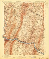
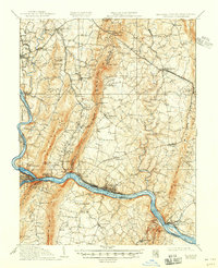
1910 Map of Antietam
USGS Topo · Published 1930About this map
McClellans Lookout and Monument Knob tower over the valley landscape in this early twentieth-century study of the tri-state border region. The geography is defined by the massive ridge of South Mountain, punctuated by strategic passes like Crampton Gap and Turners Gap. Along the winding Potomac River, the Chesapeake and Ohio Canal runs parallel to the Baltimore and Ohio RR, highlighting the vital transport corridor that shaped local commerce.
Find a feature on this map
91 named features on this map. Tap any name to fly to it.
Don’t see what you’re looking for? This feature index may not catch every label — zoom into the map to look around manually.
Map Details
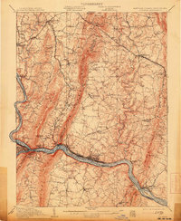
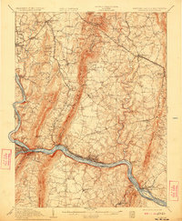
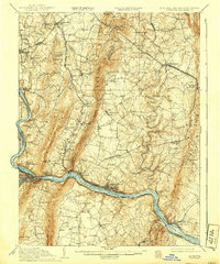
Editions of this 1910 Antietam Map
6 editions found

Other maps of this area

1884 · Harpers Ferry
USGS Topo · 1:125,000

1891 · Harpers Ferry
USGS Topo · 1:125,000

1893 · Frederick
USGS Topo · 1:125,000

1893 · Harpers Ferry
USGS Topo · 1:125,000

1894 · Frederick
USGS Topo · 1:125,000

1908 · Middletown
USGS Topo · 1:48,000

1908 · Seneca
USGS Topo · 1:62,500

1908 · Ijamsville
USGS Topo · 1:62,500

1909 · Ijamsville
USGS Topo · 1:62,500

1909 · Hagerstown
USGS Topo · 1:48,000