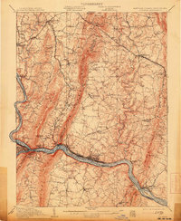
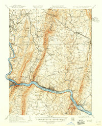
1910 Map of Antietam
USGS Topo · Published 1913About this map
Bloody Lane and the Burnside Bridge anchor the western portion of this survey, marking the landscape of the 1862 conflict near Sharpsburg. The terrain is defined by the parallel ridges of South Mountain and Elk Ridge, which channel movement through strategic passes like Foxs Gap and Crampton Gap. Along the southern border, the Potomac River serves as a vital corridor, shadowed by the Chesapeake and Ohio Canal and the Baltimore and Ohio RR, which converge at the bustling rail center of Brunswick.
Find a feature on this map
94 named features on this map. Tap any name to fly to it.
Don’t see what you’re looking for? This feature index may not catch every label — zoom into the map to look around manually.
Map Details
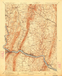
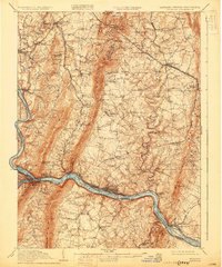
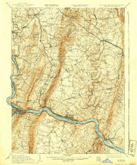
Editions of this 1910 Antietam Map
6 editions found

Other maps of this area

1884 · Harpers Ferry
USGS Topo · 1:125,000

1891 · Harpers Ferry
USGS Topo · 1:125,000

1893 · Frederick
USGS Topo · 1:125,000

1893 · Harpers Ferry
USGS Topo · 1:125,000

1894 · Frederick
USGS Topo · 1:125,000

1908 · Middletown
USGS Topo · 1:48,000

1908 · Seneca
USGS Topo · 1:62,500

1908 · Ijamsville
USGS Topo · 1:62,500

1909 · Ijamsville
USGS Topo · 1:62,500

1909 · Hagerstown
USGS Topo · 1:48,000