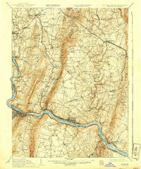
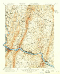
1910 Map of Antietam
USGS Topo · Published 1939About this map
South Mountain bisects this landscape, separating the rolling farmland of Locust Valley from the historic terrain of Sharpsburg and Keedysville. Surveyed in the years following the turn of the century with culture revised in the late 1930s, the map documents the area surrounding the Antietam battlefield, featuring iconic locations like Dunkard Church, Bloody Lane, and Burnside Bridge. To the south, the Potomac River carves a deep valley where the Chesapeake and Ohio Canal and the Baltimore and Ohio RR run parallel through Brunswick and Point of Rocks.
Find a feature on this map
95 named features on this map. Tap any name to fly to it.
Don’t see what you’re looking for? This feature index may not catch every label — zoom into the map to look around manually.
Map Details
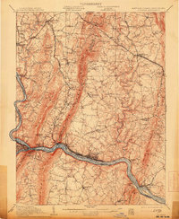
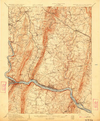
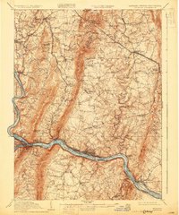
Editions of this 1910 Antietam Map
6 editions found

Other maps of this area

1884 · Harpers Ferry
USGS Topo · 1:125,000

1891 · Harpers Ferry
USGS Topo · 1:125,000

1893 · Frederick
USGS Topo · 1:125,000

1893 · Harpers Ferry
USGS Topo · 1:125,000

1894 · Frederick
USGS Topo · 1:125,000

1908 · Middletown
USGS Topo · 1:48,000

1908 · Seneca
USGS Topo · 1:62,500

1908 · Ijamsville
USGS Topo · 1:62,500

1909 · Ijamsville
USGS Topo · 1:62,500

1909 · Hagerstown
USGS Topo · 1:48,000