Loading...
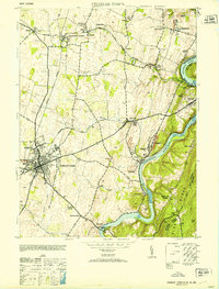
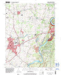
Loading map...1953 Map of Charles Town
USGS Topo · Published 1953About this map
Charles Town and Ranson serve as the bustling urban core of this 1953 survey, where the Baltimore and Ohio and Norfolk and Western railroads intersect. This rail network supports a thriving industrial landscape, notably the extensive Limestone Quarries near Millville and Bakerton. The eastern edge of the map is defined by the dramatic confluence of the Shenandoah River and the Potomac River, with the Blue Ridge mountains rising sharply to the east.
Find a feature on this map
55 named features on this map. Tap any name to fly to it.
Don’t see what you’re looking for? This feature index may not catch every label — zoom into the map to look around manually.
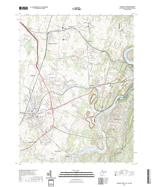
Map Details
Date Portrayed1953
Date Published1953
PublisherU.S. Geological Survey
Map TypeTopographic
Scale1:24,000
Physical Dimensions21.9 x 28.8 inches
Editions of this 1953 Charles Town Map
This is the sole edition of this map. No revisions or reprints were ever made.
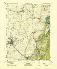
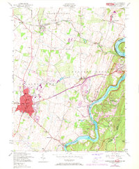
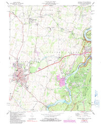
Historical Maps of Charles Town Through Time
6 maps found
Featured Locations
Source Details
SourceU.S. Geological Survey
CopyrightPublic Domain