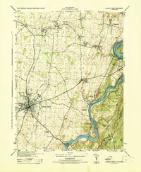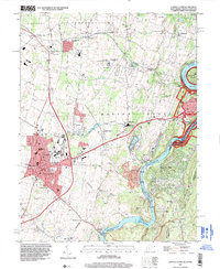
1997 Map of Charles Town
USGS Topo · Published 1999About this map
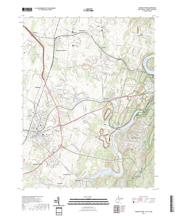
Charles Town and Ranson anchor this landscape at the confluence of history and industry in the late 1990s. The map captures the significant footprint of the Charles Town Racetrack and the nearby Shenandoah Downs, illustrating the area's long-standing connection to equestrian sport. To the east, the terrain drops toward the Shenandoah River and Potomac River, where the borders of West Virginia, Virginia, and Maryland meet. This junction is heavily protected, featuring large tracts of the Harpers Ferry Nat Hist Park and the Chesapeake and Ohio Canal Nat Hist Park.
Find a feature on this map
80 named features on this map. Tap any name to fly to it.
Don’t see what you’re looking for? This feature index may not catch every label — zoom into the map to look around manually.
Map Details
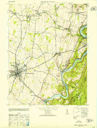
Editions of this 1997 Charles Town Map
This is the sole edition of this map. No revisions or reprints were ever made.
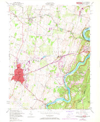
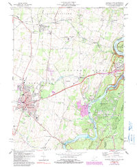
Historical Maps of Charles Town Through Time
6 maps found