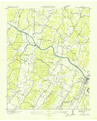
1935 Map of Charleston
USGS Topo · Published 1935About this map
The Hiwassee River carves through a landscape of ridges and bottomlands in the mid-1930s, defining the boundaries where Meigs, McMinn, and Bradley counties meet. This survey, conducted by the Tennessee Valley Authority and the Geological Survey, documents the area just as the Southern Railway corridor through Charleston and Calhoun was solidifying the region's transport network. The map reveals a deeply established rural social fabric anchored by local institutions like Shelton Memorial Chapel, Candy Creek Ch, and Mt Harmony Sch.
Find a feature on this map
47 named features on this map. Tap any name to fly to it.
Don’t see what you’re looking for? This feature index may not catch every label — zoom into the map to look around manually.
Map Details
Editions of this 1935 Charleston Map
This is the sole edition of this map. No revisions or reprints were ever made.
Other maps of this area

1886 · Cleveland
USGS Topo · 1:125,000

1892 · Cleveland
USGS Topo · 1:125,000

1895 · Cleveland
USGS Topo · 1:125,000

1901 · Cleveland
USGS Topo · 1:125,000
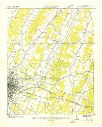
1935 · East Cleveland
USGS Topo · 1:24,000
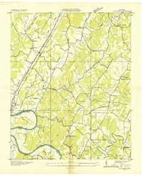
1935 · Calhoun
USGS Topo · 1:24,000
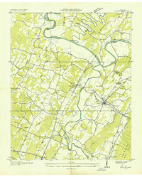
1935 · Benton
USGS Topo · 1:24,000
1935 · Goodfield
USGS Topo · 1:24,000
1935 · Birchwood
USGS Topo · 1:24,000
1935 · Riceville
USGS Topo · 1:24,000