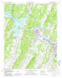
1965 Map of Charleston
USGS Topo · Published 1980About this map
The Hiwassee River serves as a central artery for this mid-1960s landscape, marking the confluence of industrial infrastructure and rural Tennessee life. On its banks, the town of Charleston sits adjacent to heavy industrial features like settling basins and a purification pond, illustrating the area's mid-century economic character. To the north and west, the waters of Chickamauga Lake reach into the valleys between No Pone Ridge and Humphreys Ridge, creating a complex shoreline that defines the Candies Creek Wildlife Management Area.
Find a feature on this map
54 named features on this map. Tap any name to fly to it.
Don’t see what you’re looking for? This feature index may not catch every label — zoom into the map to look around manually.
Map Details
Editions of this 1965 Charleston Map
2 editions found
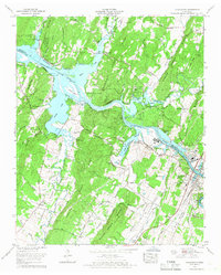
Other maps of this area

1886 · Cleveland
USGS Topo · 1:125,000

1892 · Cleveland
USGS Topo · 1:125,000

1895 · Cleveland
USGS Topo · 1:125,000

1901 · Cleveland
USGS Topo · 1:125,000

1935 · East Cleveland
USGS Topo · 1:24,000

1935 · Calhoun
USGS Topo · 1:24,000

1935 · Benton
USGS Topo · 1:24,000

1935 · Goodfield
USGS Topo · 1:24,000

1935 · Charleston
USGS Topo · 1:24,000
1935 · Birchwood
USGS Topo · 1:24,000