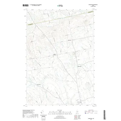
2018 Map of Charleston
USGS Topo · Published 2018About this map
Charleston and the surrounding township are defined by a network of agricultural roads and low-lying wetlands at the southern edge of the Maine Highlands. This landscape is shaped by slow-moving waterways, where Kenduskeag Stream and Black Stream drain the lowlands between high points like Hatch Hill and Bull Hill. The village of West Charleston sits at a crossroads in the center of the sheet, while the southern margin reaches toward East Corinth. The local history of the region is etched into the terrain through family-named landmarks and old production sites, such as Rollins Mill and the Hathaway Cem located along Center RD. Significant topographical features like Penobscot Ridge run along the county line, providing a natural backdrop to the scattered settlements and rural farmsteads that have persisted in this part of Penobscot and Piscataquis counties for generations.
Find a feature on this map
53 named features on this map. Tap any name to fly to it.
Don’t see what you’re looking for? This feature index may not catch every label — zoom into the map to look around manually.
Map Details
Editions of this 2018 Charleston Map
This is the sole edition of this map. No revisions or reprints were ever made.
Other maps of this area

1902 · Bangor
USGS Topo · 1:62,500

1931 · Stetson
USGS Topo · 1:48,000

1932 · Dover-Foxcroft
USGS Topo · 1:48,000

1933 · Boyd Lake
USGS Topo · 1:62,500

1935 · Dover-Foxcroft
USGS Topo · 1:62,500

1935 · Stetson
USGS Topo · 1:62,500

1942 · Bangor
USGS Topo · 1:62,500

1946 · Bangor
USGS Topo · 1:62,500

1948 · Bangor
USGS Topo · 1:250,000

1951 · Boyd Lake
USGS Topo · 1:50,000