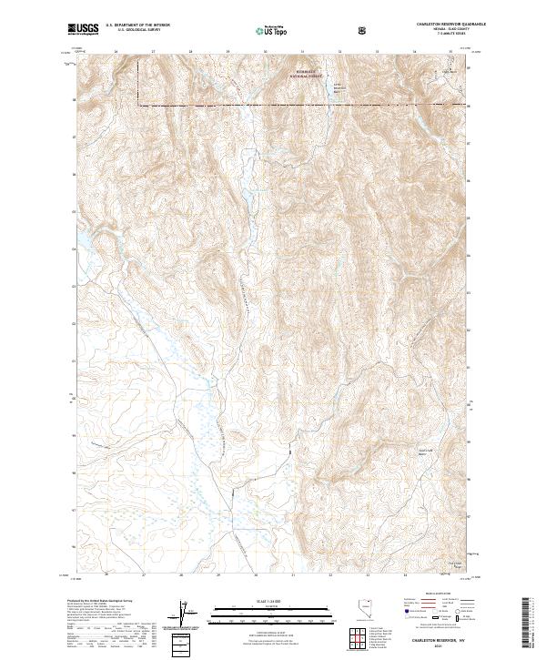
2021 Map of Charleston Reservoir
USGS Topo · Published 2021About this map
Humboldt National Forest encompasses much of this high-elevation landscape in Elko County, where the headwaters of the Bruneau River and Marys River emerge from the northern slopes. The map reveals a complex network of seasonal drainages and springs, including Lostra Spring, Plunty Spring, and Wash Spring, which provide critical water sources in this arid region. The presence of Little Reservoir and its associated Little Reservoir Basin highlights early 21st-century water management efforts in the backcountry.
Find a feature on this map
30 named features on this map. Tap any name to fly to it.
Don’t see what you’re looking for? This feature index may not catch every label — zoom into the map to look around manually.
Map Details
Editions of this 2021 Charleston Reservoir Map
This is the sole edition of this map. No revisions or reprints were ever made.
Other maps of this area

1935 · Charleston
USGS Topo · 1:48,000

1942 · Mt. Velma
USGS Topo · 1:62,500

1955 · Wells
USGS Topo · 1:250,000

1958 · Wells
USGS Topo · 1:250,000

1961 · Wells
USGS Topo · 1:250,000

1967 · Stag Mountain
USGS Topo · 1:24,000

1967 · Hanks Creek NE
USGS Topo · 1:24,000

1968 · Charleston Reservoir
USGS Topo · 1:24,000

1968 · Marys River Basin NE
USGS Topo · 1:24,000

1968 · Marys River Basin SE
USGS Topo · 1:24,000