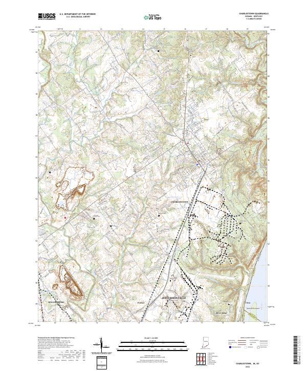
2022 Map of Charlestown
USGS Topo · Published 2022About this map
Charlestown sits at the heart of this Clark County landscape, where the suburban expansion of Jeffersonville and Sellersburg meets the winding tributaries of the Ohio River. The geography is defined by a series of small watercourses like Sinking Fork, Carr Peyton Br, and Fourteenmile Creek that carve through the terrain. Evidence of the area's long-standing family settlements is found in the numerous burial grounds scattered across the countryside, including Robertson Cem, Saint Michaels Cem, and Bottorff Cem. To the south, the industrial and residential corridors of River Ridge and Prather show the modern evolution of the land near Twelvemile Island, while the older riverfront character remains visible at Utica. This detailed view captures the transition from historic farmstead locations to modern township infrastructure as it appeared in the early 2020s.
Find a feature on this map
141 named features on this map. Tap any name to fly to it.
Don’t see what you’re looking for? This feature index may not catch every label — zoom into the map to look around manually.
Map Details
Editions of this 2022 Charlestown Map
This is the sole edition of this map. No revisions or reprints were ever made.
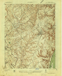
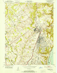
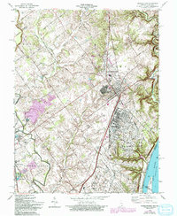
Historical Maps of Prather Through Time
4 maps found