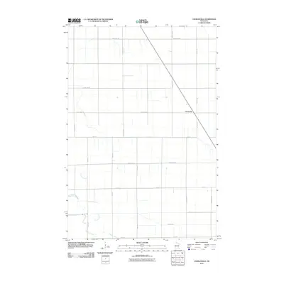
2010 Map of Charlesville
USGS Topo · Published 2010About this map
Charlesville serves as the primary focal point of this western Minnesota landscape, situated along a diagonal transit corridor in a region defined by its agricultural grid and water drainage. The terrain is structured by a network of sectional roads, including County Hwy-95 and County Hwy-94, which facilitate movement across the prairie. The hydrology of the area is particularly distinct, featuring the meandering course of the Mustinka River and its various tributaries. Insight into the changing natural landscape is found in the Old Channel, which suggests a history of shifting watercourses or drainage modifications. Fivemile Creek and Twelvemile Creek also cut through the systematic road grid, providing a natural contrast to the straight-line development of local infrastructure like Twp Hwy 101.
Find a feature on this map
21 named features on this map. Tap any name to fly to it.
Don’t see what you’re looking for? This feature index may not catch every label — zoom into the map to look around manually.
Map Details
Editions of this 2010 Charlesville Map
This is the sole edition of this map. No revisions or reprints were ever made.
Other maps of this area

1910 · Wendell
USGS Topo · 1:62,500

1911 · Herman
USGS Topo · 1:62,500

1913 · Wendell
USGS Topo · 1:62,500

1951 · Wheaton
USGS Topo · 1:62,500

1951 · Campbell
USGS Topo · 1:62,500

1953 · Milbank
USGS Topo · 1:250,000

1953 · Fargo
USGS Topo · 1:250,000

1956 · Fargo
USGS Topo · 1:250,000

1958 · Milbank
USGS Topo · 1:250,000

1973 · Herman NW
USGS Topo · 1:24,000