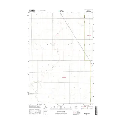
2016 Map of Charlesville
USGS Topo · Published 2016About this map
The small settlement of Charlesville sits at the junction of several rural routes along the eastern edge of Traverse County. This agricultural landscape is defined by the Mustinka River, which cuts across the southern portion of the map, and its associated waterways including Fivemile Cr and Twelvemile Cr. The presence of an Old Channel south of Co HWY 16 indicates the shifting hydrology of this prairie region. The border with Grant County is clearly delineated to the east, marked by 340th Ave. This map shows a largely rural infrastructure of county roads and section lines, typical of the western Minnesota plains, where the land is strictly partitioned for farming and water management.
Find a feature on this map
26 named features on this map. Tap any name to fly to it.
Don’t see what you’re looking for? This feature index may not catch every label — zoom into the map to look around manually.
Map Details
Editions of this 2016 Charlesville Map
This is the sole edition of this map. No revisions or reprints were ever made.
Other maps of this area
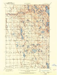
1910 · Wendell
USGS Topo · 1:62,500
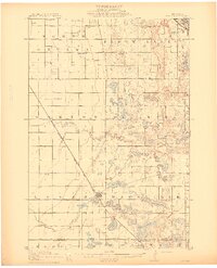
1911 · Herman
USGS Topo · 1:62,500
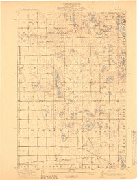
1913 · Wendell
USGS Topo · 1:62,500
1951 · Wheaton
USGS Topo · 1:62,500
1951 · Campbell
USGS Topo · 1:62,500
1953 · Milbank
USGS Topo · 1:250,000
1953 · Fargo
USGS Topo · 1:250,000
1956 · Fargo
USGS Topo · 1:250,000
1958 · Milbank
USGS Topo · 1:250,000
1973 · Herman NW
USGS Topo · 1:24,000